Kinston in Lenoir County, North Carolina — The American South (South Atlantic)
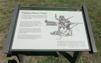
Fighting at Harriet's Chapel
Harriet's Chapel Battlefield Park
— Battle of Kinston Military Park —
Union Gen. Henry Wessells spent hours maneuvering his regiments into the swamp. Artillery pounded the Union soldiers as they formed in line of battle. Wessells planned to flank the Confederates and force them out of their fortifications. It was the same strategy employed successfully at Southwest Creek the day before.
As the Union troops advanced, the Confederates hit them with volley after volley of shot and canister. Unable to stop the Federal forces, the Confederates withdrew. The infantry pulled back in fighting retreat, protecting the artillery as it made for Jones Bridge.
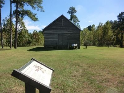
After the battle, Harriet’s Chapel was “perforated with holes of all sizes, from that of the Minie-ball to the one caused by the thirty-two-pound shell.” Shells had stripped the bark from the trees. Dead and wounded lay around the church.
“As I lay there and listened to the Yankee bullets rattling upon the walls of that church and saw the weatherboarding perforated like a pepper box, I felt and thought…’remember the Sabbath day to keep it holy”. Those Yankee scamps were making the building mighty wholly (holey).” Capt. William H. Edwards, 17th South Carolina
Erected by Battle of Kinston Military Park.
Topics. This historical marker is listed in this topic list: War, US Civil.
Location. 35° 14.522′ N, 77° 35.287′ W. Marker is in Kinston, North Carolina, in Lenoir County. Marker is at the intersection of Richlands Road (U.S. 258) and Measley Road, on the right when traveling north on Richlands Road. The marker is on the grounds of the Kinston Battlefield Park. Touch for map. Marker is in this post office area: Kinston NC 28504, United States of America. Touch for directions.
Other nearby markers. At least 8 other markers are within walking distance of this marker. The Night of December 13, 1862 (a few steps from this marker); The Site of Harriet's Chapel (a few steps from this marker); Kinston Battlefield Park (a few steps from this marker); Caring for the Wounded (within shouting distance of this marker); The Confederate Defenses of Kinston (within shouting distance of this marker); First Battle of Kinston (within shouting distance of this marker); Wessells' Advance—December 14, 1862 (about 300 feet away, measured in a direct line); The Center of the Confederate Line (about 300 feet away). Touch for a list and map of all markers in Kinston.
Credits. This page was last revised on June 16, 2016. It was originally submitted on November 25, 2013, by Don Morfe of Baltimore, Maryland. This page has been viewed 706 times since then and 8 times this year. Photos: 1, 2. submitted on November 25, 2013, by Don Morfe of Baltimore, Maryland. • Bernard Fisher was the editor who published this page.

