Lexington in Fayette County, Kentucky — The American South (East South Central)
Coldstream Farm
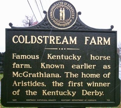
Photographed by Ken Smith, November 17, 2013
1. Coldstream Farm Marker
Erected 1961 by Kentucky Historical Society & Kentucky Department Of Highways. (Marker Number 166.)
Topics and series. This historical marker is listed in these topic lists: Animals • Sports. In addition, it is included in the Kentucky Historical Society series list.
Location. 38° 5.476′ N, 84° 29.29′ W. Marker is in Lexington, Kentucky, in Fayette County. It is on Newtown Pike (County Route 922) south of Aristides Blvd., on the right when traveling south. Touch for map. Marker is at or near this postal address: 1674 Newtown Pike, Lexington KY 40511, United States of America. Touch for directions.

Regionally, this marker is in Kentucky’s Bluegrass Region. It is also in the American South and specifically in the Upper South. Globally, it is in North America, the Western Hemisphere, the Western World, and the Anglosphere. Historically, it finds itself in what was once the territory of the Mississippian Culture and also the
this page online
Other nearby markers. At least 8 other markers are within 3 miles of this marker, measured as the crow flies: Artistides (approx. ¾ mile away); Glengarry Field-Cool Meadow / Fasig-Tipton Since 1898 (approx. 1.4 miles away); Lexington Colored Fair Association / Successful Enterprise (approx. 1.4 miles away); Man o' War / Man o' War (1917-1947) (approx. 1½ miles away); Colored Orphan Industrial Home (approx. 2 miles away); Fairlawn, ca. 1845 / Dr. Benjamin Dudley (approx. 2.1 miles away); Eastern State Hospital (approx. 2.2 miles away); Lexington (approx. 2.3 miles away). Touch for a list and map of all markers in Lexington.
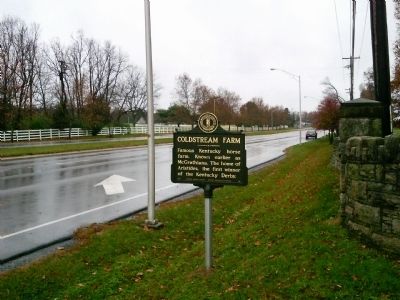
Photographed by Ken Smith, November 17, 2013
2. Coldstream Farm Marker
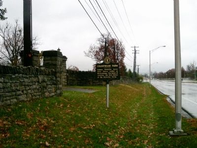
Photographed by Ken Smith, November 17, 2013
3. Coldstream Farm Marker
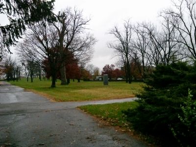
Photographed by Ken Smith, November 17, 2013
4. Coldstream Farm Marker
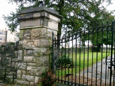
Photographed by Ken Smith, November 17, 2013
5. Coldstream Farm Marker
Credits. This page was last revised on June 16, 2016. It was originally submitted on December 4, 2013, by Ken Smith of Milan, Tennessee. This page has been viewed 1,444 times since then and 90 times this year. Photos: 1, 2, 3, 4, 5. submitted on December 4, 2013, by Ken Smith of Milan, Tennessee. • Al Wolf was the editor who published this page.
