Petersburg, Virginia — The American South (Mid-Atlantic)
Digging the Mine
— Petersburg National Battlefield —
Inscription.
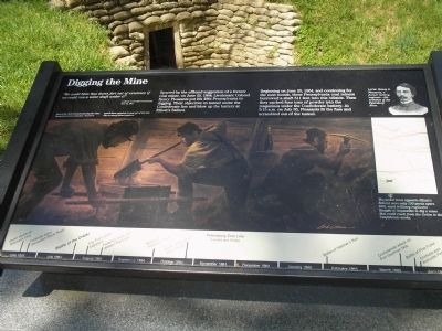
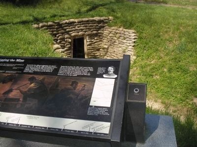
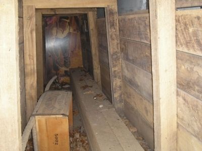
“We could blow that damn fort out of existence if we could run a mine shaft under it.” - A private of the 48th Pennsylvania June 23, 1864Spurred by the offhand suggestion of a former coal miner, on June 25, 1864, Lieutenant Colonel Henry Pleasants put his 48th Pennsylvania to digging. Their objective: to tunnel under the Confederate line and blow up the battery at Elliott’s Salient.
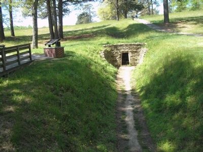
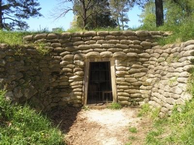
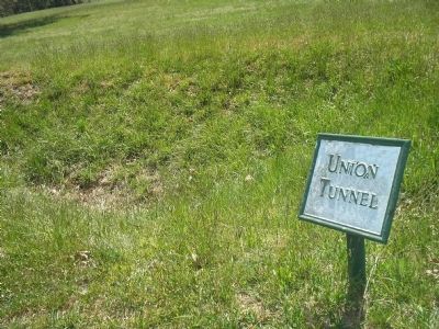
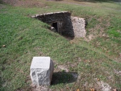
Beginning on June 25, 1864, and continuing for the next month, these Pennsylvania coal miners burrowed a shaft 511 feet into this hillside. Then they packed four tons of powder into the magazines under the Confederate battery. At 3:15 a.m. on July 30, Pleasants lit the fuse and scrambled out of the tunnel.
Erected by National Park Service, U.S. Department of the Interior.
Topics. This historical marker is listed in this topic list: War, US Civil. A significant historical date for this entry is June 23, 1778.
Location. 37° 13.156′ N, 77° 22.568′ W. Marker is in Petersburg, Virginia. Marker can be reached from Siege Road, on the right when traveling south. Marker is in Petersburg National Battlefield. It is located on a walking trail that starts at Tour Stop 8. Touch for map. Marker is in this post office area: Petersburg VA 23803, United States of America. Touch for directions.
Other nearby markers. At least 8 other markers are within walking distance of this marker. Ventilation Shaft (within shouting distance of this marker); The Struggle Across Poor Creek (about 300 feet away, measured in a direct line); The Crater (about 500 feet away); “A Stupendous Failure” (about 500 feet away); Confederate Counterattack (about 500 feet away); Crater of Mine (about 500 feet away); Confederate Countermine (about 500 feet away); Union High Tide (about 600 feet away). Touch for a list and map of all markers in Petersburg.
More about this marker. The right side of the marker contains a painting of the soldiers at work, and has the caption Men of the 48th Pennsylvania dug the mine. Remembered one onlooker, “I used to watch them popping out of the hole like so many brown gophers.”
In the upper right of the marker is a portrait of Lt. Col. Henry A. Pleasants, a former mining engineer – the architect of the Petersburg Mine.
Below the portrait is a map of the area around the mine with the caption The picket lines opposite Elliott’s Salient were only 100 yards apart. Still, most military engineers thought it impossible to dig a mine that could reach from the Union to the Confederate works.
Like many other markers in Petersburg National Battlefield, the bottom of the marker has a Petersburg Time Line. The Battle
of the Crater is indicated on it.
Also see . . .
1. Petersburg National Battlefield. National Park Service. (Submitted on April 13, 2008, by Bill Coughlin of Woodland Park, New Jersey.)
2. The Battle of the Crater: July 30, 1864. The Siege of Petersburg Online (Submitted on April 13, 2008.)
Credits. This page was last revised on August 28, 2023. It was originally submitted on April 13, 2008, by Bill Coughlin of Woodland Park, New Jersey. This page has been viewed 1,231 times since then and 20 times this year. Last updated on August 19, 2021, by Bradley Owen of Morgantown, West Virginia. Photos: 1, 2, 3, 4, 5, 6. submitted on April 13, 2008, by Bill Coughlin of Woodland Park, New Jersey. 7. submitted on October 31, 2010, by Bernard Fisher of Richmond, Virginia. 8. submitted on November 1, 2021, by Bradley Owen of Morgantown, West Virginia. • Devry Becker Jones was the editor who published this page.
