Paradise Inn in Pierce County, Washington — The American West (Northwest)
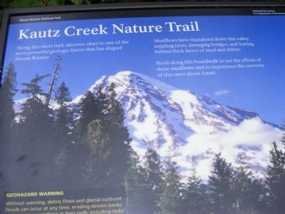
Kautz Creek Nature Trail
Mount Rainier National Park
Mudflows have thundered down this valley, topping trees, damaging bridges and leaving behind thick layers of mud and debris.
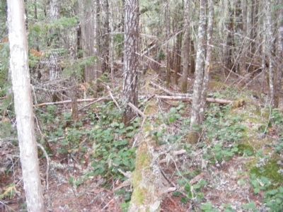
Stroll along this boardwalk to see the effects of these mudflows and to experience the recovery of this one dense forest.
Erected by National Park Service-United States Department of the Interior.
Topics. This historical marker is listed in this topic list: Natural Features.
Location. 46° 44.485′ N, 121° 53.798′ W. Marker is in Paradise Inn, Washington, in Pierce County. Marker is on Paradise Road East. The marker is located in Mount Rainier National Park. Touch for map. Marker is in this post office area: Paradise Inn WA 98398, United States of America. Touch for directions.
Other nearby markers. At least 5 other markers are within 9 miles of this marker, measured as the crow flies. A Recovering Forest (a few steps from this marker); Changing Course (a few steps from this marker); An Ancient Community (approx. 8.2 miles away); Paradise Inn (approx. 8.3 miles away); Inspired to Preserve (approx. 8.7 miles away).

Photographed By Don Morfe, September 14, 2009
3. Kautz Creek Nature Trail Marker
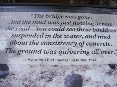
Quote from a partially photographed marker at this location-“The bridge was gone. And the mud was just flowing across the road…You could see these boulders suspended in the water, and mud about the consistency of concrete. The ground was quivering all over.” Assistant Chief Ranger Bill Butler, 1947
Credits. This page was last revised on October 12, 2020. It was originally submitted on December 13, 2013, by Don Morfe of Baltimore, Maryland. This page has been viewed 339 times since then and 4 times this year. Photos: 1, 2, 3. submitted on December 13, 2013, by Don Morfe of Baltimore, Maryland. • Syd Whittle was the editor who published this page.
Editor’s want-list for this marker. Wide area view of marker and its surroundings. • Full view of the marker seen in photo #3 • Can you help?

