Coon Rapids in Anoka County, Minnesota — The American Midwest (Upper Plains)
Coon Rapids Dam Regional Park
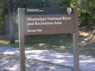
Mississippi National River and Recreation Area-Partner Site
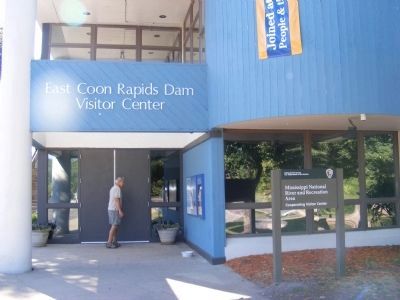
— East Visitor Center —
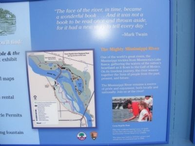
The Mighty Mississippi River
One of the world’s great rivers, the Mississippi trickles from Minnesota’s Lake Itasca, gathering the waters of the nation’s heartland as it flows to the Gulf of Mexico. On its timeless journey, the river weaves together the lives of people from the past, present, and future. The Mississippi River remains a source of pride and enjoyment, both locally and nationally. Join us at the river!
Coon Rapids Dam
Hike the walkway behind you---it leads to the dam and across the river, offering spectacular views! Watch for wildlife. The dam was built in 1913 for power and rebuilt for recreational use in 1996.
“The face of the river, in time, became a wonderful book…And it was not a book to be read once and thrown aside, for it had a new story to tell every day.”
Mark Twain
Topics. This historical marker is listed in this topic list: Waterways & Vessels. A significant historical year for this entry is 1913.
Location. 45° 8.807′ N, 93° 18.568′ W. Marker is in Coon Rapids, Minnesota, in Anoka County. Marker is on Egret Blvd. Touch for map. Marker is in this post office area: Minneapolis MN 55433, United States of America. Touch for directions.
Other nearby markers. At least 8 other markers are within 5 miles of this marker, measured as the crow flies. How the Dam Works (approx. 0.4 miles away); World War II Monument (approx. 4.8 miles away); Louis Hennepin (approx. 4.9 miles away); Highway of Exploration (approx. 5 miles away); Circle of Life (approx. 5 miles away); Logbooms Meet Sawmills (approx. 5 miles away); Ticknor House (approx. 5 miles away); Where Cultures Meet (approx. 5 miles away).
Credits. This page was last revised on June 16, 2016. It was originally submitted on December 28, 2013, by Don Morfe of Baltimore, Maryland. This page has been viewed 631 times since then and 22 times this year. Photos: 1, 2, 3, 4. submitted on December 28, 2013, by Don Morfe of Baltimore, Maryland. • Bill Pfingsten was the editor who published this page.


