Near Hot Springs in Custer County, South Dakota — The American Midwest (Upper Plains)
Paha Sapa Limestone
Wind Cave National Park
| — | National Park Service | — |
Photographed by Don Morfe, August 29, 2008
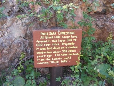
1. Paha Sapa Limestone Marker
All Black Hills caves have formed in this layer 300 to 600 feet thick. Originally it was laid down on a shallow seabottom about 300 million years ago. Its name derives from the Lakota word meaning "Black Hills".
Topics. This historical marker is listed in this topic list: Natural Features.
Location. 43° 33.388′ N, 103° 28.699′ W. Marker is near Hot Springs, South Dakota, in Custer County. It is on Wind Cave Road. The marker is at the cave entrance and it is near the Wind Cave National Park visitor center. Touch for map. Marker is in this post office area: Hot Springs SD 57747, United States of America. Touch for directions.

Regionally, this marker is in West River and in Greater Rapid City. It is also in the American Black Hills, in the Lewis & Clark Corridor, on the prairies, and on the Northern Plains. Globally, it is in North America, the Western Hemisphere, the Western World, and the Anglosphere. Historically, it finds itself in what was once Rupert’s Land and also the Louisiana Purchase.
Other nearby markers. At least 8 other markers are within 3 miles
this page online
Photographed by Don Morfe, August 29, 2008
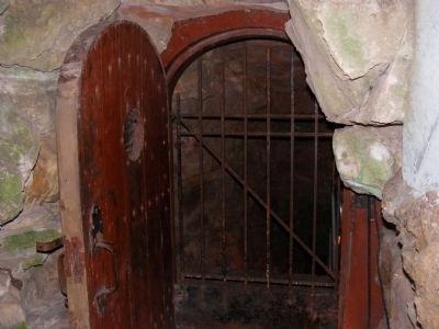
2. Gate at the entrance to the Wind Cave
Photographed by Don Morfe, August 29, 2008
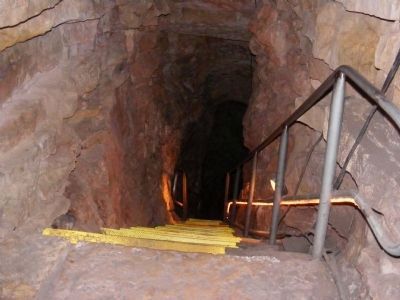
3. Steps going down into the Wind Cave

Photographed by Don Morfe, August 29, 2008
4. Women caving at the turn of the century
Photographed by Don Morfe, August 29, 2008
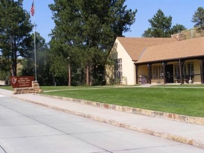
5. Wind Cave National Park Visitor Center
Credits. This page was last revised on September 13, 2026. It was originally submitted on December 30, 2013, by Don Morfe of Baltimore, Maryland. This page has been viewed 956 times since then and 30 times this year. Photos: 1, 2, 3, 4, 5. submitted on December 30, 2013, by Don Morfe of Baltimore, Maryland. • Bill Pfingsten was the editor who published this page.
