Near Sharpsburg in Washington County, Maryland — The American Northeast (Mid-Atlantic)
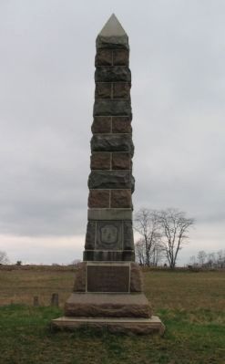
16th Connecticut Volunteer Infantry
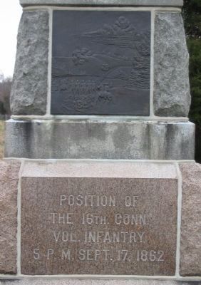
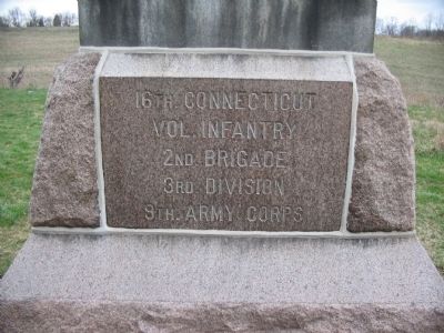
the 16th. Conn.
Vol. Infantry
5 P.M. - Sept. 17, 1862
(Left)
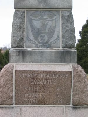
Casualties
Killed 43
Wounded 161
Total 204
(Rear)
Vol. Infantry
2nd Brigade
3rd Division
9th Army Corps
(Right)
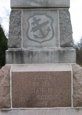
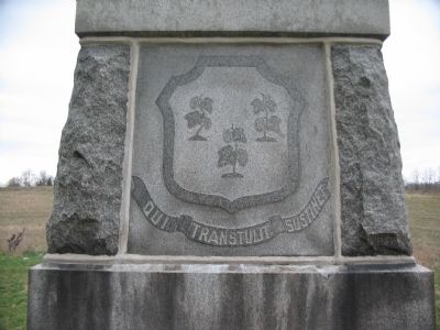
State of
Connecticut
1894
Erected 1894 by State of Connecticut.
Topics. This historical marker is listed in this topic list: War, US Civil. A significant historical month for this entry is September 1784.
Location. 39° 26.875′ N, 77° 44.371′ W. Marker is near Sharpsburg, Maryland, in Washington County. Marker is on Branch Avenue, on the left when traveling south. Located at stop five on the Final Attack walking trail, to the east of Branch Avenue. Touch for map. Marker is in this post office area: Sharpsburg MD 21782, United States of America. Touch for directions.
Other nearby markers. At least 8 other markers are within walking distance of this marker. Rodman's Division, Ninth Army Corps (about 500 feet away, measured in a direct line); Ninth Army Corps (about 500 feet away); Battery E, 4th U.S. Artillery (about 500 feet away); Battery E, 2nd U.S. Artillery (about 500 feet away); Brigadier General L. O'B. Branch (about 500 feet away); Battery G, 4th U.S. Artillery (about 500 feet away); 30th Ohio Volunteer Infantry (about 500 feet away); Battery A, 5th U.S. Artillery (about 500 feet away). Touch for a list and map of all markers in Sharpsburg.
Also see . . . 16th Connecticut Volunteer Infantry Monument. National Park Service site detailing the monument. (Submitted on April 14, 2008, by Craig Swain of Leesburg, Virginia.)
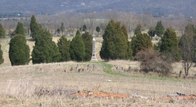
Photographed By Craig Swain, March 29, 2008
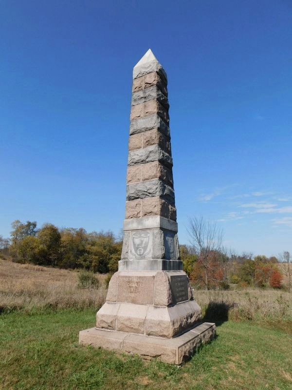
8. Monument seen from Branch Avenue
Seen from Branch Avenue, the monument is located on a slight spur. The 16th Connecticut advanced up that slope into view and engaged Gregg's Confederate Brigade. The foreground here, and the ground where the monument stands, were part of the Forty Acre Cornfield at the time of the battle.
Credits. This page was last revised on April 20, 2021. It was originally submitted on April 14, 2008, by Craig Swain of Leesburg, Virginia. This page has been viewed 1,196 times since then and 12 times this year. Photos: 1, 2. submitted on April 14, 2008, by Craig Swain of Leesburg, Virginia. 3, 4, 5, 6, 7, 8. submitted on April 15, 2008, by Craig Swain of Leesburg, Virginia. 9. submitted on April 17, 2021, by Bradley Owen of Morgantown, West Virginia.
