Amherstburg in Essex County, Ontario — Central Canada (North America)
Connection to Town
Connection to Town
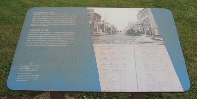
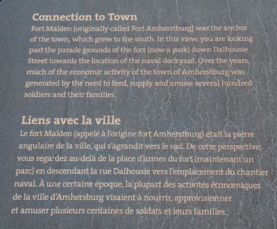
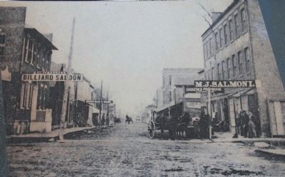
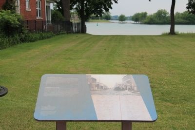
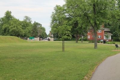
Fort Malden (originally called Fort Amherstburg) was the anchor of the town, which grew to the south. In this view, you are looking past the parade grounds of the fort (now a park) down Dalhousie Street towards the location of the naval dockyard. Over the years, much of the economic activity of the town of Amherstburg was generated by the need to feed, supply and amuse several hundred soldiers and their families.
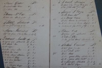
Entries from an 1810 account book kept by a local merchant reveal the kinds of purchases military men might make in the town - everything from gun flints to blankets.
Liens avec la ville
Le fort Malden (appelé à l'origine fort Amherstburg) était la pierre angulaire de la ville, qui s'agrandit vers le sud. De cette perspective, vous regardez au-delà de la place d'armes du fort (maintenant un parc) en descendant la rue Dalhousie vers l'emplacement du chantier naval. À une certaine époque, la plupart des activités économiques de la ville d'Amherstburg visaient à nourrir, approvisionner et amuser plusieurs centaines de soldats et leurs familles.
Les entrées d'un livre de comptes datant de 1810 tenu par un marchand local révèlent les types d'achats que les militaires auraient pu faire dans le village - un peu de tout, de pierres à fusil à des couvertures.
Erected by Parks Canada.
Topics. This historical marker is listed in these topic lists: Forts and Castles • Settlements & Settlers. A significant historical year for this entry is 1810.
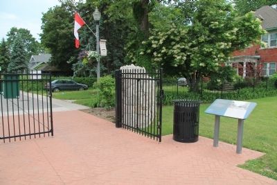
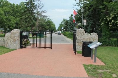
Location. 42° 6.358′ N, 83° 6.835′ W. Marker is in Amherstburg, Ontario, in Essex County. Marker can be reached from Laird Avenue South just south of Elm Avenue, on the right when traveling south. This historical marker is located at the southern visitor entrance gate to the Fort Malden National Historic Site, very near the Detroit River, along the national park's river walkway (near the southwest bastion of the fort). Touch for map. Marker is in this post office area: Amherstburg ON N9V 1X5, Canada. Touch for directions.
Other nearby markers. At least 8 other markers are within walking distance of this marker. Boblo Island (within shouting distance of this marker); Strategic Location (within shouting distance of this marker); Brick Officers’ Guard Room (about 120 meters away, measured in a direct line); The Site Over Time (about 120 meters away); Fort Defences (about 120 meters away); Privy (about 180 meters away); Detroit River Heritage (about 210 meters away); Shoreline Breakwall (about 210 meters away). Touch for a list and map of all markers in Amherstburg.
More about this marker. When you are standing
at this historical marker, if you look due south, through the nearby park entrance gate, your eyes will take you right down along Dahousie Street, which takes you right into the heart of the city of Amherstburg's business district. This would be the route that connected the townspeople to the members of the fort's garrison, and the route that the soldiers would use to access the various opportunities that the town had to offer.
The gate by this marker is located at the corner of Fort Malden Drive and Dalhousie Street. The park that is just across the street, to the southeast, use to be the fort's parade ground, according to this historical marker.
Photographed By Dale K. Benington, June 15, 2013
8. Connection to Town Marker
A close view, looking south, of the historical marker, situated very near the south gateway entrance to the national park, along the riverside walking pathway. Also a distant view, looking due south, along Dalhousie Street, right into the downtown business district of Amherstburg.
Credits. This page was last revised on June 16, 2016. It was originally submitted on January 8, 2014, by Dale K. Benington of Toledo, Ohio. This page has been viewed 504 times since then and 5 times this year. Photos: 1, 2, 3, 4, 5, 6, 7, 8, 9. submitted on January 9, 2014, by Dale K. Benington of Toledo, Ohio.
