Near Morton in Renville County, Minnesota — The American Midwest (Upper Plains)
Wrong Place, Wrong Time
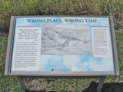
"When the men in advance reached Little Crow's village...they saw a column of mounted men and some wagons...going eastward."
The "men in advance" were Dakota scouts. According to Wamditanka, they were traveling in a group of several hundred toward New Ulm, where an attack was planned. They had stopped at the village of the Mdewakanton chief Taoyateduta (Little Crow) to gather belongings left behind during the siege.
The "mounted men" were Anderson and his command. They were part of a burial detail—150 volunteer soldiers and civilians sent from Fort Ridgely to bury victims of the war that had been raging across the region.
Scenes from a War Zone
Many of the sketches reproduced along this trail were made by Albert Colgrave, a 22-year-old artist who joined Company G, 6th Minnesota Volunteer Infantry Regiment, in September 1862. Around the time the U.S.-Dakota War broke out, he was becoming well known in St. Paul for his theatrical backdrops. "May he become as proficient in handling the musket as the pallet," the St. Paul Daily Press noted when he enlisted.
Colgrave sketched dozens of battle scenes during the war. But his career was cut short: he died of typhoid fever in Glencoe, Minnesota, in March 1863.
Birch Coulee Battlefield
Erected by the Minnesota Historical Society.
Topics and series. This historical marker is listed in this topic list: Wars, US Indian. In addition, it is included in the Minnesota Historical Society series list. A significant historical month for this entry is March 1863.
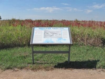
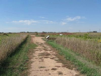
Location. 44° 34.529′ N, 94° 58.596′ W. Marker is near Morton, Minnesota, in Renville County. Marker can be reached from County Road 18, 0.2 miles south of 690th Avenue (County Road 2), on the left when traveling south. Marker is within Birch Coulee Battlefield/State Park. Touch for map. Marker is at or near this postal address: 68634 County Road 18, Morton MN 56270, United States of America. Touch for directions.
Other nearby markers. At least 8 other markers are within walking distance of this marker. Two Men, One War (a few steps from this marker); "A Beautiful Place to Encamp" (within shouting distance of this marker); The Battle of Birch Coulee (about 300 feet away, measured in a direct line); Battle Tactics (about 300 feet away); The Story of the Land (about 500 feet away); Minnesota's Civil War (about 500 feet away); The Battle Ends (about 500 feet away); Battle Scars (about 600 feet away). Touch for a list and map of all markers in Morton.
More about this marker. sketch caption:
Albert Colgrave, View above South Bend, 1862
Regarding Wrong Place, Wrong Time. In 1862, the Minnesota Dakota, also known by the French term, “Sioux," waged war against the United States following two years of unfulfilled treaty obligations. A burial detail of soldiers and civilians was dispatched from Fort Ridgely to bury the remains of settlers who had been killed in the early weeks of the war. During the first night out, the detail was surrounded by Dakota, who attacked at dawn.
Also see . . .
1. Battle of Birch Coulee. Wikipedia entry. "At the end of the day, Brown's and Grant's soldiers met up again at a campsite near Birch Coulee. The two detachments had buried 54 bodies, and since neither group had seen any Indians, they figured they were safe. Meanwhile, Chief Little Crow was leading a force of 110 northeastward from New Ulm, while his chief warrior, Gray Bird, was heading down the south side of the Minnesota River with a force of 350 Indians." (Submitted on January 25, 2014.)
2. The site of the Battle of Birch Coulee. Minnesota Historical Society entry (Submitted on January 2, 2021, by Larry Gertner of New York, New York.)
Additional keywords. U.S.-Dakota
War of 1862
Credits. This page was last revised on January 2, 2021. It was originally submitted on January 25, 2014, by Keith L of Wisconsin Rapids, Wisconsin. This page has been viewed 592 times since then and 20 times this year. Photos: 1, 2, 3. submitted on January 25, 2014, by Keith L of Wisconsin Rapids, Wisconsin.


