Near Douglas in Converse County, Wyoming — The American West (Mountains)
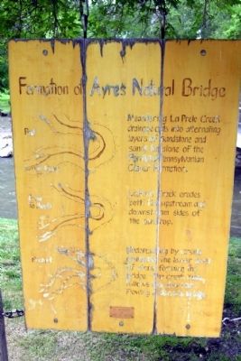
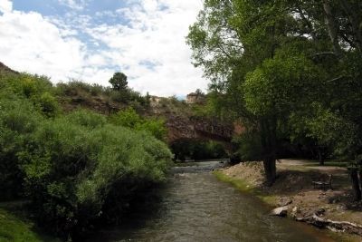
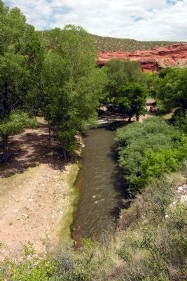
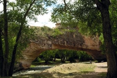
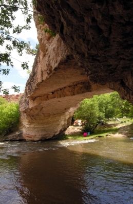
Formation of Ayres Natural Bridge
La Prele Creek erodes both the upstream and downstream sides of the outcrop.
Undercutting by creek collapses the lower level of stone forming the bridge. The creek then follows the shortcut, flowing undern the bridge.
In memory of Lou B. Reed
Topics. This historical marker is listed in this topic list: Natural Features.
Location. 42° 44.064′ N, 105° 36.693′ W. Marker is near Douglas, Wyoming, in Converse County. Marker can be reached from Natural Bridge Road (County Road 13) 2˝ miles south of Spring Canyon Road (County Road 11). Natural Bridge Road can be accessed from Exit 151 of Interstate 25. The marker is located at the end of Natural Bridge Road in Ayres Natural Bridge Park. Touch for map. Marker is in this post office area: Douglas WY 82633, United States of America. Touch for directions.
Other nearby markers. At least 8 other markers are within 10 miles of this marker, measured as the crow flies. Natural Bridge and the Oregon Trail (here, next to this marker); Oregon Trail (approx. 1.7 miles away); Ayres Natural Bridge Park (approx. 4.1 miles away); Sharp, Franklin and Taylor, (approx. 4.6 miles away); Junction of the Oregon Trail (approx. 6˝ miles away); a different marker also named The Oregon Trail (approx. 7.1 miles away); Bill Hooker (approx. 7.1 miles away); Fort Fetterman (approx. 9.9 miles away). Touch for a list and map of all markers in Douglas.
Credits. This page was last revised on June 16, 2016. It was originally submitted on January 27, 2014, by Duane Hall of Abilene, Texas. This page has been viewed 648 times since then and 10 times this year. Photos: 1, 2, 3, 4, 5, 6. submitted on January 27, 2014, by Duane Hall of Abilene, Texas.
