Near Morton in Renville County, Minnesota — The American Midwest (Upper Plains)
Dakota Positions
Photographed by K. Linzmeier, September 25, 2013
1. Dakota Positions Marker
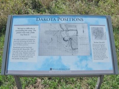
"We had no difficulty in surrounding the camp. The pickets were only a little way from it."
No soldiers would have attempted to climb this hill during the battle. But by standing here today, you can get a sense of Dakota positions.
Wamditanka and his band were behind this hill. Meanwhile, "Red Legs took his men into the coulie (sic) east of the camp. Mankato had some of his men in the coulie and some on the prairie. Gray Bird and his men were mostly on the prairie."
"An Easy Time of It"
Dakota men could eat and rest during the battle, unlike their U.S. counterparts. "We had an easy time of it," said Wamditanka. "We could crawl through the grass and into the coulie (sic) and get water when we wanted it, and after a few hours our women crossed the river and came up near the bluff and cooked for us, and we could go back and eat and then return to the fight."
Birch Coulee Battlefield
Erected by the Minnesota Historical Society.
Topics and series. This historical marker is listed in this topic list: Wars, US Indian.
this page online
Location. 44° 34.583′ N, 94° 58.742′ W. Marker is near Morton, Minnesota, in Renville County. It can be reached from County Road 18 0.2 miles south of 690th Avenue (County Road 2), on the left when traveling south. Marker is within Birch Coulee Battlefield/State Park. Touch for map. Marker is at or near this postal address: 68634 County Road 18, Morton MN 56270, United States of America. Touch for directions.

Regionally, this marker is in Southwest Minnesota and specifically in the Minnesota River Valley. It is also in the American Midwest, in the Corn Belt, and on the Great Plains. Globally, it is in North America, the Western Hemisphere, the Western World, and the Anglosphere. Historically, it finds itself in what was once Rupert’s Land, the territory of the Mississippian Culture, and the Louisiana Purchase.
Other nearby markers. At least 8 other markers are within walking distance of this marker: “The Fight Was On” (within shouting distance of this marker); The Prairie Factor (within shouting distance
Photographed by K. Linzmeier, September 25, 2013
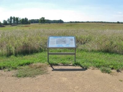
2. Dakota Positions Marker
More about this marker. captions:
• William A. Truesdell, Plat map of Birch Coulee Battlefield, 1871-72
• Frank Mayer, Sketches, 1851 Courtesy The Newberry Library
Regarding Dakota Positions. In 1862, the Minnesota Dakota, also known by the French term, “Sioux," waged war against the United States following two years of unfulfilled treaty obligations. A burial detail of 160 to 170 soldiers and civilians was dispatched from Fort Ridgely to bury the remains of settlers who had been killed in the early weeks of the war. During the first night out, the detail was surrounded by Dakota, who attacked at dawn.
Also see . . . Battle of Birch Coulee. Minnesota Historical Society website entry (Submitted on February 1, 2014.)
Additional keywords. U.S.-Dakota
Photographed by K. Linzmeier, September 25, 2013
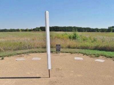
3. Interpretive Ground Footstep Markers and White Post
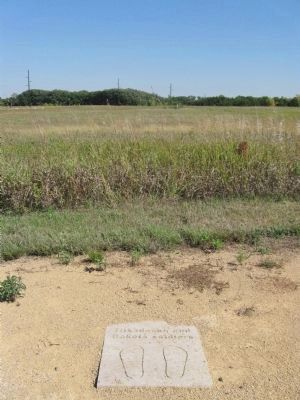
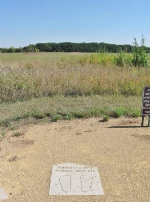
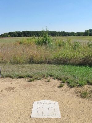
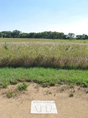
Step in the footsteps and look for white posts marking locations of the Dakota soldiers and the U.S. military camp.
Photographed by K. Linzmeier, September 25, 2013
4. Zitkadaska and Dakota Soldiers
Photographed by K. Linzmeier, September 25, 2013
5. Hushasha and Dakota Soldiers
Photographed by K. Linzmeier, September 25, 2013
6. U.S. Campsite
Photographed by K. Linzmeier, September 25, 2013
7. Mankato and Dakota Soldiers
Credits. This page was last revised on December 10, 2025. It was originally submitted on February 1, 2014, by Keith L of Wisconsin Rapids, Wisconsin. This page has been viewed 859 times since then and 32 times this year. Photos: 1, 2, 3, 4, 5, 6, 7. submitted on February 1, 2014, by Keith L of Wisconsin Rapids, Wisconsin.
