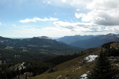
Near South Fork in Mineral County, Colorado — The American Mountains (Southwest)
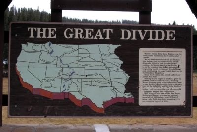
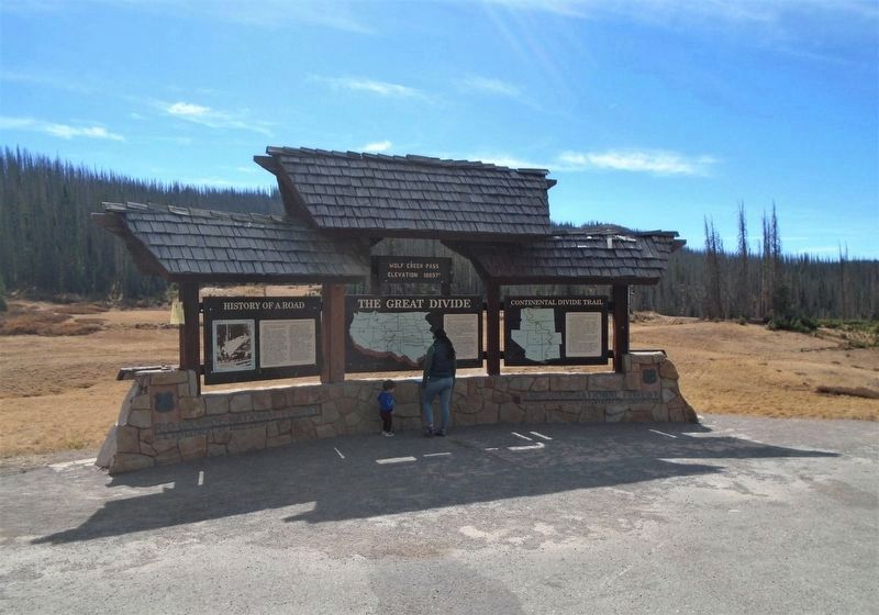
The Great Divide
With a foot on each side of the bronze line below, you are symbolically straddling the spine of the Western Hemisphere. In North America the Divide follows the crest of the Rocky Mountains, beginning north in Alaska’s Brook Range and continuing through South America to the Strait of Magellan.
Does the Continental Divide affect our lives? You bet!
Spring thaws begin as trickles, grow to gushes, and become torrents, sending water to every part of the continent: west to the Pacific, south to the Gulf of Mexico, east to the Atlantic, and north to Hudson Bay and up to the Arctic. Along the way, water - the building block of life on earth - supports nature and civilization.
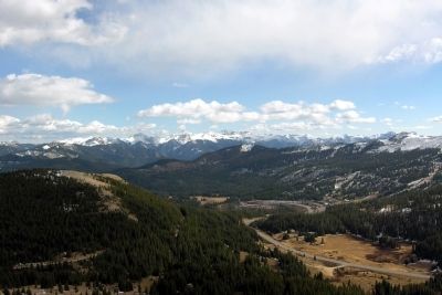
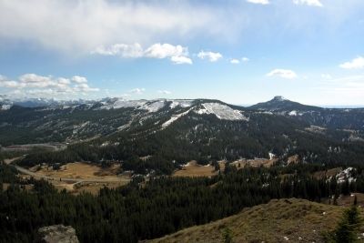
Wolf Creek Pass, part of the San Juan Mountain Range, averages an annual snowfall of 460 inches - over 38 feet of snow - the first step in an amazing cycle surrounding nature’s spine.
Topics. This historical marker is listed in this topic list: Natural Features.
Location. 37° 28.975′ N, 106° 48.135′ W. Marker is near South Fork, Colorado, in Mineral County. Marker is on U.S. 160, 0.2 miles County Road 402, on the left when traveling west. Touch for map. Marker is at or near this postal address: Wolf Creek Pass Summit, South Fork CO 81154, United States of America. Touch for directions.
Other nearby markers. At least 6 other markers are within 16 miles of this marker, measured as the crow flies. History of a Road (here, next to this marker); Continental Divide Trail (here, next to this marker); Watchable Wildlife (approx. 15.6 miles away); Rio Grande — A River of Life (approx. 15.6 miles away); A Passport Through Time (approx. 15.6 miles away); Living on the Byway (approx. 15.6 miles away).
Credits. This page was last revised on November 21, 2020. It was originally submitted on February 10, 2014, by Duane Hall of Abilene, Texas. This page has been viewed 693 times since then and 20 times this year. Photos: 1. submitted on February 10, 2014, by Duane Hall of Abilene, Texas. 2. submitted on November 21, 2020, by William Fischer, Jr. of Scranton, Pennsylvania. 3, 4, 5. submitted on February 10, 2014, by Duane Hall of Abilene, Texas.
