Canadian in Hemphill County, Texas — The American South (West South Central)
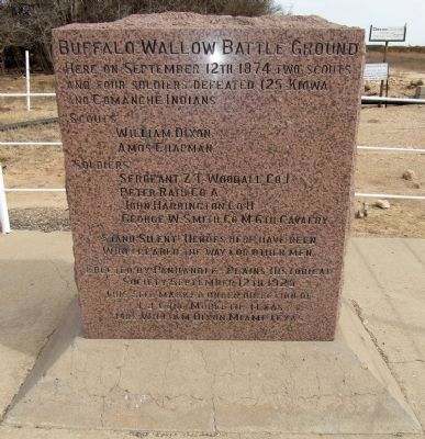
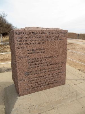
Buffalo Wallow Battle Ground
Scouts
William Dixon
Amos Chapman
Soldiers
Sergeant ZT Woodall Co I
Peter Rath Co A
John Harrington Co H
George W Smith Co M 6th Cavalry
Stand silent heroes here have been
who cleared the way for other men.
Erected by Panhandle-Plains Historical
Society. September 12th 1925
This site marked under direction of
J.J. Long, Mobeetie, Texas
Mrs. William Dixon, Miami, Texas.
Erected 1925 by Panhandle-Plains Historical Society. (Marker Number 565.)
Topics. This memorial is listed in this topic list: Wars, US Indian. A significant historical month for this entry is September 1882.
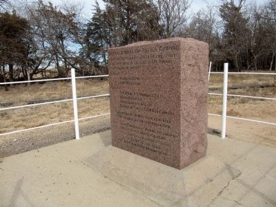
Location. 35° 40.634′ N, 100° 16.345′ W. Marker is in Canadian, Texas, in Hemphill County. Memorial is on County Route 15, 1.1 miles south of Farm to Market Road 277, on the left when traveling south. Touch for map. Marker is in this post office area: Canadian TX 79014, United States of America. Touch for directions.
Other nearby markers. At least 8 other markers are within 12 miles of this marker, measured as the crow flies. Fletcher and Donley Stage Station (approx. one mile away); Gageby Cemetery (approx. 3.3 miles away); Washita Cemetery (approx. 5.2 miles away); Zybach Cemetery (approx. 6.1 miles away); Gen. Nelson Miles Expedition (approx. 6.8 miles away); Cataline Cemetery (approx. 7.4 miles away); Site of Lyman's Wagon Train Battle (approx. 8˝ miles away); Route of Marcy Trail (approx. 11.6 miles away). Touch for a list and map of all markers in Canadian.
Credits. This page was last revised on June 16, 2016. It was originally submitted on February 16, 2014, by Marvin Seibert of Ketchikan, Alaska. This page has been viewed 2,870 times since then and 234 times this year. Photos: 1, 2, 3. submitted on February 16, 2014, by Marvin Seibert of Ketchikan, Alaska. • Bernard Fisher was the editor who published this page.


