Near Hancock in Washington County, Maryland — The American Northeast (Mid-Atlantic)
Gettysburg Campaign
Invasion & Retreat
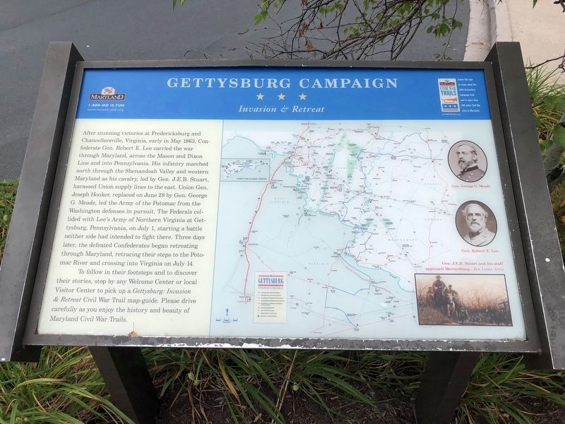
To follow in their footsteps and to discover their stories, stop by any Welcome Center or local Visitor Center to pick up a Gettysburg: Invasion & Retreat Civil War Trail map-guide. Please drive carefully
this page online
Topics and series. This historical marker is listed in this topic list: War, US Civil. In addition, it is included in the Maryland Civil War Trails series list. A significant historical month for this entry is May 1863.
Location. This marker has been replaced by another marker nearby. It was located near 39° 42.94′ N, 78° 16.86′ W. Marker was near Hancock, Maryland, in Washington County. It was on the eastbound Sideling Hill Rest Area (Interstate 68 at milepost 75), 1½ miles east of Exit 74, on the right when traveling east. Touch for map. Marker was in this post office area: Hancock MD 21750, United States of America. Touch for directions.

Regionally, this marker was in Western Maryland. It was also in the American Mid-Atlantic, in Appalachia, and specifically in Northern Appalachia. Globally, it was in North America, the Western Hemisphere, the Western World, and the Anglosphere. Historically, it found itself in what was once one of the original Thirteen Colonies.
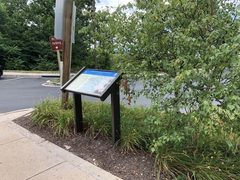
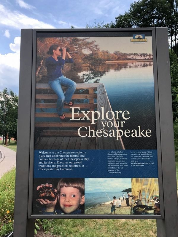
Other nearby markers. At least 4 other markers are within walking distance of this location: Explore Maryland Civil War Trails (a few steps from this marker); Interstate 68 Maryland Vietnam Memorial (approx. 0.2 miles away); a different marker also named Explore Maryland Civil War Trails (approx. 0.2 miles away); a different marker also named The Challenge of Sideling Hill (approx. 0.2 miles away). Touch for a list and map of all markers in Hancock.
Other markers no longer nearby. Sideling Hill Cut North Bench (was approx. 0.2 miles away but has been permanently removed); a different marker also named Gettysburg Campaign (was approx. 0.2 miles away but has been replaced with another marker now near it); The National Road (was approx. 0.2 miles away but has been permanently removed); The Challenge of Sideling Hill (was approx. 0.2 miles away but has been replaced with another marker now near it); a different marker also named The Challenge of Sideling Hill (was approx. 0.2 miles away but has been replaced with another marker
Photographed by J. J. Prats, August 13, 2006
3. Gettysburg Campaign Marker
This is a previous iteration of the marker. The text is the same with different photo placements.
More about this marker. There was a duplicate of this marker at the westbound rest area here on Sideling Hill.
Credits. This page was last revised on July 11, 2024. It was originally submitted on November 26, 2006, by J. J. Prats of Powell, Ohio. This page has been viewed 2,198 times since then and 48 times this year. Photos: 1, 2. submitted on July 14, 2020, by Devry Becker Jones of Washington, District of Columbia. 3. submitted on November 26, 2006, by J. J. Prats of Powell, Ohio. 4. submitted on July 14, 2020, by Devry Becker Jones of Washington, District of Columbia.
