Near Boise in Ada County, Idaho — The American West (Mountains)
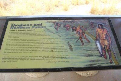
The Shoshone and Northern Paiute
Echoes of an Ancient Homeland
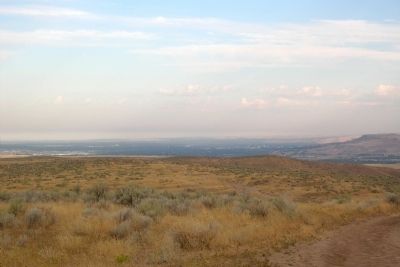
The river valley below was an oasis, trading hub and crossroads for native peoples. Regional bands gathered here to fish, hunt, and trade. Explorers, fur trappers, and emigrants encountered Indian camps along the Boise River.
The Indians often exchanged food and services with the early Euro-American travelers. Yet by the 1850s, Oregon Trail wagon trains and accompanying livestock overgrazed the grasses and depleted resources. Tensions and hostilities increased greatly after 1856, when Hudson’s Bay Company abandoned their southern Idaho fur trade posts.
In 1864 and 1866, the Idaho Territorial Governor negotiated two treaties with local bands of the Shoshone, Bannock, and Paiute. Neither treaty, however, was ratified by the United States Government. The Indians were retained in temporary camps until forced onto the Fort Hall Indian Reservation in 1869, Duck Valley Indian Reservation in 1877, and other reservations in Oregon and Nevada. Today, these Indians are self-governing nations. They are working to protect the natural resources that continue to inspire and sustain their lives and culture.
”We traveled about eighteen miles, which brought us Bois river, a stream of forty or fifty yards in width, and abounding with salmon. We traveled about eleven miles. The road is sometimes on bottom, at others on bluff. The Indians are very numerous along this stream; they have a large number of horses; clothing is in much demand; for articles of clothing costing in the States ten or twelve dollars, a very good horse can be obtained.”
–- Joel Palmer, Oregon Trail Emigrant, 1845
Topics. This historical marker is listed in these topic lists: Native Americans • Settlements & Settlers. A significant historical year for this entry is 1856.
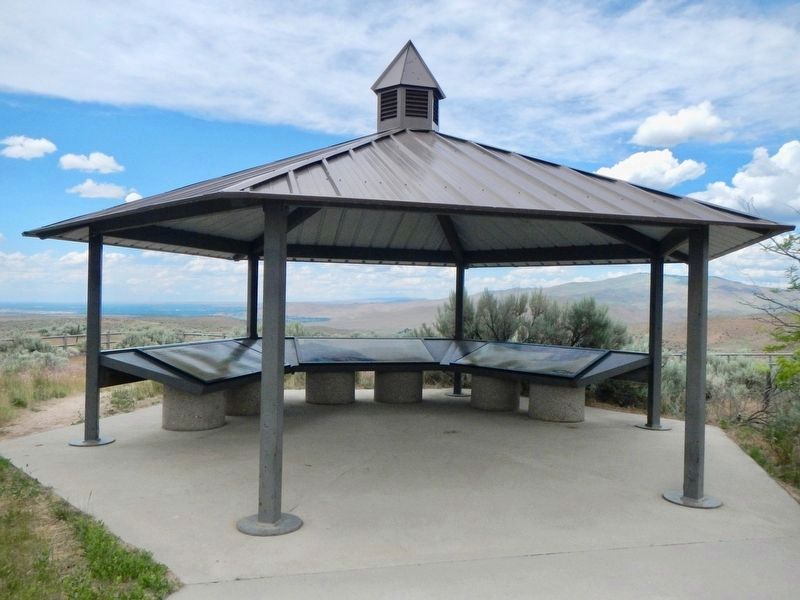
Location. 43° 29.514′ N, 116° 2.441′ W. Marker is near Boise, Idaho, in Ada County. Marker can be reached from S. Upper Blacks Creek Road, 1.3 miles north of E. Blacks Creek Road. Marker is located at the Bonneville Point interpretive site along the route of the Oregon Trail at the end of S. Upper Blacks Creek Road. Touch for map. Marker is in this post office area: Boise ID 83716, United States of America. Touch for directions.
Other nearby markers. At least 8 other markers are within 4 miles of this marker, measured as the crow flies. The Hunt Expedition (here, next to this marker); The Fur Trade and the Tide of Emigration (here, next to this marker); Captain Bonneville (a few steps from this marker); Bonneville Point (a few steps from this marker); Site 10 ★ Blacks Creek Road Crossing (approx. 1.1 miles away); The Foote Legacy in Idaho (approx. 2.6 miles away); Basque Country (approx. 3.4 miles away); Oregon Trail (approx. 3˝ miles away). Touch for a list and map of all markers in Boise.
Credits. This page was last revised on November 2, 2018. It was originally submitted on February 17, 2014, by Duane Hall of Abilene, Texas. This page has been viewed 770 times since then and 41 times this year. Photos: 1. submitted on February 17, 2014, by Duane Hall of Abilene, Texas. 2. submitted on November 2, 2018, by Barry Swackhamer of Brentwood, California. 3. submitted on February 17, 2014, by Duane Hall of Abilene, Texas.
Editor’s want-list for this marker. Photo of wide-view of marker and surroundings. • Can you help?


