Los Caminos Antiguos
Los Caminos Antiguos Scenic & Historic Byway
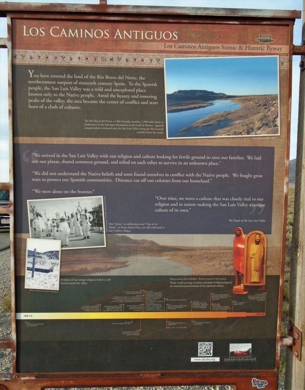
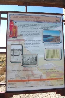
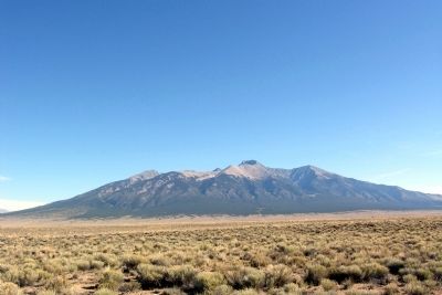
You have entered the land of the Río Bravo del Norte, the northernmost outpost of sixteenth century Spain. To the Spanish people, the San Luis Valley was a wild and unexplored place known only to the Native people. Amidst the beauty and towering peaks of the valley, the area became the center of conflict and wars born of a clash of cultures.
"We arrived in the San Luis Valley with our religion and culture looking for fertile ground to raise our families. We laid out our plazas, shared common ground, and relied on each other to survive in an unknown place."
“We did not understand the Native beliefs and soon found ourselves in conflict with the Native people. We fought great wars to protect our Spanish communities. Distance cut off our colonies from our homeland."
“We were alone on the frontier."
“Over time, we wove a culture that was closely tied to our religion and to nature making the San Luis Valley a unique culture of its own.”
The People of the San Luis Valley
[Photo captions, clockwise from top right, read]
• The Río Bravo del Norte, or Río Grande, wanders 1,900 miles from its headwaters in the San Juan Mountains to the Gulf of Mexico. Spanish conquistadors ventured into the San Luis Valley along the Río Grande corridor from the south.
• Today
wood carvings of santos and bultos (religious figures) are material representations of our spiritual culture.• Evidence of our unique religious beliefs is still found around the valley.
• Our “fiestas” or celebrations and “Dias de los Santos,” or Pat[r]on Saints days, are still celebrated in our Culebra villages.
[Timeline at bottom of marker not transcribed]
Topics. This historical marker is listed in these topic lists: Colonial Era • Exploration • Settlements & Settlers.
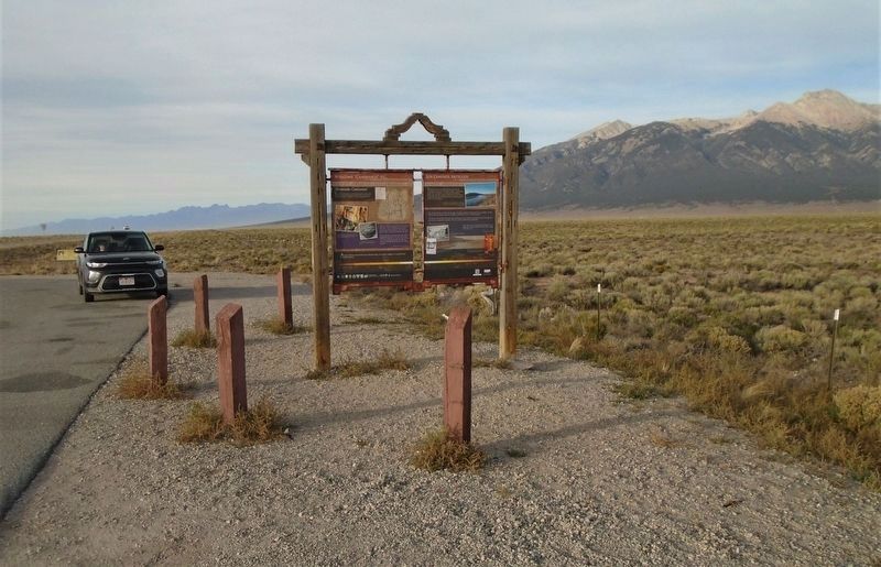
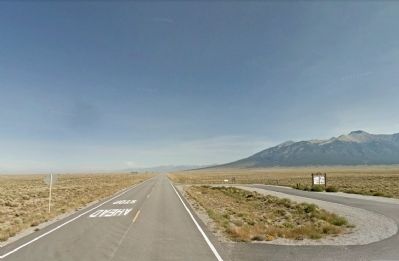
Location. 37° 28.655′ N, 105° 36.126′ W. Marker is near Blanca, Colorado, in Alamosa County. Marker is on State Highway 150, 0.2 miles north of U.S. 160, on the right when traveling north. Touch for map. Marker is in this post office area: Alamosa CO 81101, United States of America. Touch for directions.
Other nearby markers. At least 8 other markers are within 13 miles of this marker, measured as the crow flies. Welcome "Caminante" to ... (here, next to this marker); On Sacred Ground (here, next to this marker); "The Magic Dog" (here, next to this marker); Lt. Zebulon Pike's Southwestern Expedition (within shouting distance of this marker); Fort Garland / Buffalo Soldiers (approx. 10.1 miles away); Costilla County Veterans Memorial (approx. 10.6
Credits. This page was last revised on November 23, 2020. It was originally submitted on February 19, 2014, by Duane Hall of Abilene, Texas. This page has been viewed 643 times since then and 11 times this year. Photos: 1. submitted on November 23, 2020, by William Fischer, Jr. of Scranton, Pennsylvania. 2. submitted on February 19, 2014, by Duane Hall of Abilene, Texas. 3. submitted on November 23, 2020, by William Fischer, Jr. of Scranton, Pennsylvania. 4, 5. submitted on February 19, 2014, by Duane Hall of Abilene, Texas.
