Near Sharpsburg in Washington County, Maryland — The American Northeast (Mid-Atlantic)
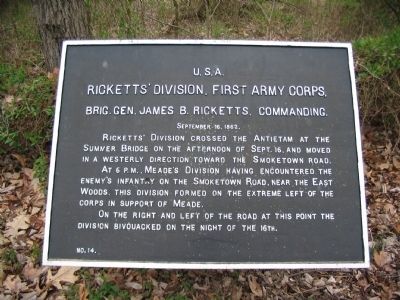
Ricketts' Division, First Army Corps
Ricketts' Division, First Army Corps,
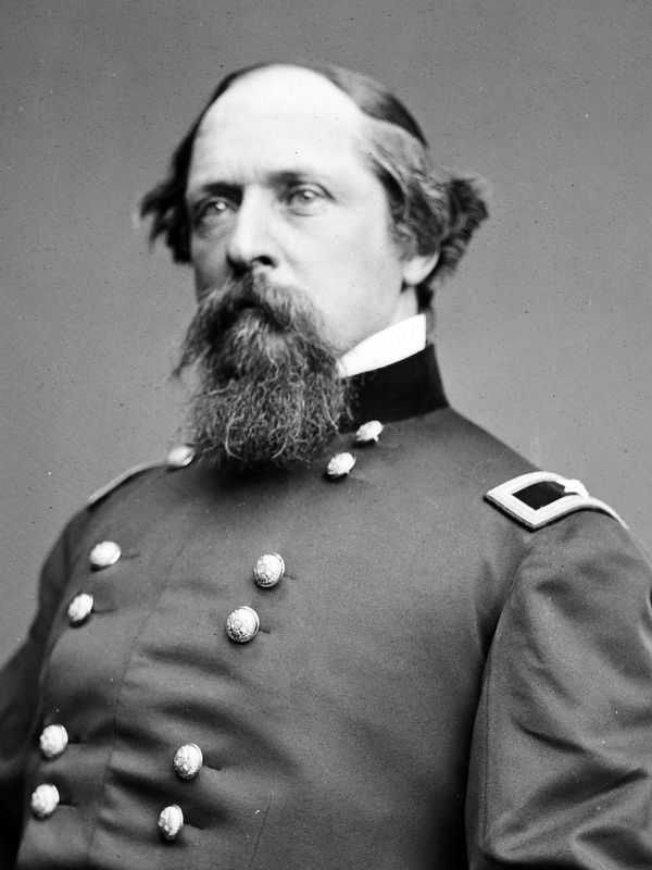
Brig. Gen. James B. Ricketts, Commanding.
September 16, 1862.
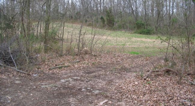
Ricketts' Division crossed the Antietam at the Sumner Bridge on the afternoon of Sept. 16, and moved in a westerly direction toward the Smoketown Road.
At 6 p.m., Meade's Division having encountered the enemy's infantry on the Smoketown Road, near the East Woods, this formed on the extreme left of the corps in support of Meade.
On the right and left of the road at this point the division bivouacked on the night of the 16th.
Erected by Antietam Battlefield Board. (Marker Number 14.)
Topics and series. This historical marker is listed in this topic list: War, US Civil. In addition, it is included in the Antietam Campaign War Department Markers series list. A significant historical month for this entry is September 1808.
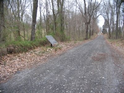
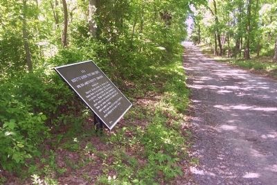
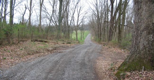
Location. 39° 29.434′ N, 77° 44.457′ W. Marker is near Sharpsburg, Maryland, in Washington County. Marker is on Smoketown Road, on the right when traveling north. Touch for map. Marker is in this post office area: Sharpsburg MD 21782, United States of America. Touch for directions.
Other nearby markers. At least 8 other markers are within walking distance of this marker. 8th Regt. Pennsylvania Reserver Volunteer Corps (approx. ¼ mile away); First Army Corps (approx. 0.3 miles away); Meade's Division, First Army Corps (approx. 0.3 miles away); a different marker also named Meade's Division, First Army Corps (approx. 0.3 miles away); 3rd Regt. Pennsylvania (approx. 0.3 miles away); a different marker also named First Army Corps (approx. 0.3 miles away); 1st Corps, 3rd Division, 2nd Brigade Bivouac (approx. 0.3 miles away); a different marker also named Ricketts’ Division, First Army Corps (approx. 0.3 miles away). Touch for a list and map of all markers in Sharpsburg.
Also see . . .
1. Antietam Battlefield. National Park Service site. (Submitted on April 17, 2008, by Craig Swain of Leesburg, Virginia.)
2. 2nd Division, II Corps. (Submitted on April 17, 2008, by Craig Swain of Leesburg, Virginia.)
Credits. This page was last revised on May 11, 2019. It was originally submitted on April 17, 2008, by Craig Swain of Leesburg, Virginia. This page has been viewed 893 times since then and 10 times this year. Photos: 1, 2. submitted on April 17, 2008, by Craig Swain of Leesburg, Virginia. 3. submitted on May 21, 2009, by Richard E. Miller of Oxon Hill, Maryland. 4, 5. submitted on April 17, 2008, by Craig Swain of Leesburg, Virginia. 6. submitted on May 3, 2019, by Allen C. Browne of Silver Spring, Maryland.
