Llano in Llano County, Texas — The American South (West South Central)
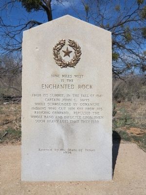
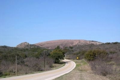
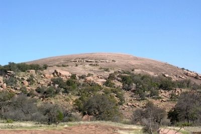
Nine Miles West is the Enchanted Rock
Erected 1936 by State of Texas. (Marker Number 14653.)
Topics and series. This historical marker is listed in these topic lists: Native Americans • Notable Places • Wars, US Indian. In addition, it is included in the Texas 1936 Centennial Markers and Monuments series list. A significant historical year for this entry is 1841.
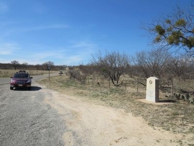
Location. 30° 32.6′ N, 98° 42.28′ W. Marker is in Llano, Texas, in Llano County. Marker is at the intersection of Farm to Market Road 965 and Texas Highway 16, on the right when traveling west on Route 965. Touch for map. Marker is in this post office area: Llano TX 78643, United States of America. Touch for directions.
Other nearby markers. At least 8 other markers are within 11 miles of this marker, measured as the crow flies. Oxford Cemetery (approx. 4.2 miles away); Enchanted Rock (approx. 7.6 miles away); Six Mile School (approx. 9˝ miles away); Six Mile Cemetery (approx. 9.7 miles away); Robert E. Rowntree House (approx. 10.3 miles away); Crabapple School (approx. 10.4 miles away); St. John's Lutheran Church (approx. 10˝ miles away); Site of Prairie Mountain School (approx. 10˝ miles away). Touch for a list and map of all markers in Llano.
Credits. This page was last revised on June 16, 2016. It was originally submitted on February 22, 2014, by Richard Denney of Austin, Texas. This page has been viewed 864 times since then and 39 times this year. Photos: 1, 2. submitted on February 22, 2014, by Richard Denney of Austin, Texas. 3, 4. submitted on February 23, 2014, by Duane Hall of Abilene, Texas. • Bernard Fisher was the editor who published this page.


