Near Elliston in Powell County, Montana — The American West (Mountains)
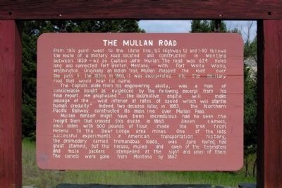
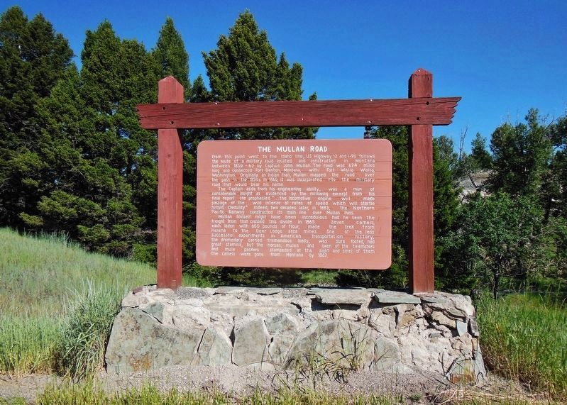
The Mullan Road
The Captain aside from his engineering ability, was a man of considerable insight as evidenced by the following excerpt from his final report. He prophesied “... the locomotive engine will make passage of the ... wild interior at rates of speed which will startle human credulity.” Indeed, two decades later, in 1883, the Northern Pacific Railway constructed its main line over Mullan Pass.
Mullan himself might have been incredulous had he seen the freight train that crossed this divide in 1865. Seven camels, each laden with 600 pounds of flour, made the trek from Helena to the Deer Lodge area mines. One of the less successful experiments in American transportation history, the dromedary carried tremendous loads, was sure footed, had great stamina, but the horses, mules and oxen of the teamsters and mule packers stampeded at the sight and smell of them. The camels were gone from Montana by 1867.
Topics. This historical marker is listed in this topic list: Roads & Vehicles. A significant historical year for this entry is 1859.
Location. 46° 33.61′ N, 112° 23.158′ W. Marker is near Elliston, Montana, in Powell County. Marker is on U.S. 12, 0.2 miles west of Lime Quarryhills Lane, on the right when traveling west. Touch for map. Marker is in this post office area: Elliston MT 59728, United States of America. Touch for directions.
Other nearby markers. At least 8 other markers are within 14 miles of this marker, measured as the crow flies. The Frenchwoman's Road (approx. 3.7 miles away); Over a Billion Years of Montana's Geological History (approx. 5.1 miles away); Marysville General Store (approx. 13.6 miles away); Marysville, Montana (approx. 13.6 miles away); A Booming Little Place (approx. 13.6 miles away); Marysville Shaffer House (approx. 13.7 miles away); Marysville School House (approx. 13.7 miles away); Methodist Episcopal Church of Marysville (approx. 13.8 miles away). Touch for a list and map of all markers in Elliston.
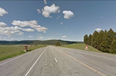
More about this marker. There is an identical marker on the opposite side of the highway for eastbound traffic.
Credits. This page was last revised on December 24, 2018. It was originally submitted on February 23, 2014, by Duane Hall of Abilene, Texas. This page has been viewed 879 times since then and 64 times this year. Photos: 1. submitted on February 23, 2014, by Duane Hall of Abilene, Texas. 2. submitted on December 23, 2018, by Cosmos Mariner of Cape Canaveral, Florida. 3. submitted on February 23, 2014, by Duane Hall of Abilene, Texas.
Editor’s want-list for this marker. Photo of wide-view of marker and surroundings. • Can you help?


