Laurel in Prince George's County, Maryland — The American Northeast (Mid-Atlantic)
Laurel Harnessed the River to Power the Cotton Mill
Riverfront Park Heritage & Nature Trail
Inscription.
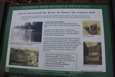
Laurel's earliest mill was established on land originally inhabited by Native Americans. The early mills were located on the banks of the Patuxent River at the fall line. Here the River elevation changes and provides an excellent source of water power.
A Massive Dam and a Mill Race
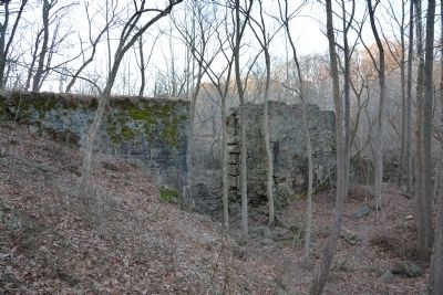
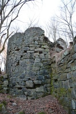
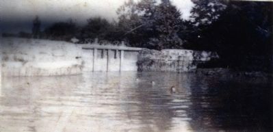
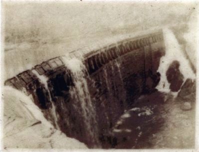
A massive dam built in 1850 controlled the Patuxent River's flow in order to supply water to the Laurel Cotton Mill.
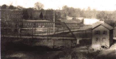
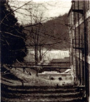
According to newspaper reports in 1855 the dam measured 222 feet wide and was 27 feet tall. A canal on the south bank, called the mill race, ran about 600 feet and directed water into the mill.
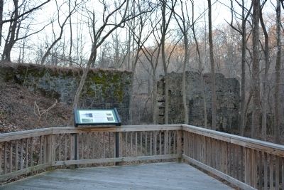
Wooden doors in the large sluice gate across the channel were used to control the flow of water. These would be opened or closed depending on the power needed. Water flowed from the race or canal to the mill where it powered two overshot wheels and later a large Boyden Turbine before flowing back into the river. The dam needed frequent repairs. Most of the dam was blown up in the 1940s.
June 16, 1879 - Rather short of water to-day.dam leaks badly.. June 25..Stopped (sic) some of the leaks on dam.. June 28 Dam leaking badly again July 3, 1879. Stopped mill till 21st in order to repair dam.
Diary of Laurel Mills Superintendent George Nye, June-July 1879
Erected by City of Laurel Department of Parks and Recreation.
Topics. This historical marker is listed in these topic lists: Industry & Commerce • Waterways & Vessels. A significant historical month for this entry is June 1811.
Location. 39° 6.613′ N, 76° 51.63′ W. Marker is in Laurel, Maryland, in Prince George's County. Marker can be reached from the intersection of Patuxent Road and 10th Street, on the right when traveling west. Marker is down a path into the woods from the west end of Main St. Touch for map. Marker is at or near this postal address: 225 Patuxent Rd, Laurel MD 20707, United States of America. Touch for directions.
Other nearby markers. At least 8 other markers are within walking distance of this marker. Water From the Dam Powered the Cotton Mill (about 400 feet away, measured in a direct line); a different marker also named Laurel Harnessed the River to Power the Cotton Mill (about 700 feet away); Site of The Old Stone Methodist Church (about 800 feet away); Desegregation of Laurel Pool (approx. 0.2 miles away); Laurel Cotton Mill and Dam (approx. 0.2 miles away); Laurel Factory: Prince Georges County's Only Mill Town (approx. 0.2 miles away); Laurel Factory: A Mill Town (approx. 0.2 miles away); Casula Point (approx. 0.2 miles away). Touch for a list and map of all markers in Laurel.
Also see . . . History of Laurel. Laurel
Historical Society website entry (Submitted on March 14, 2022, by Larry Gertner of New York, New York.)
Credits. This page was last revised on March 14, 2022. It was originally submitted on March 3, 2014, by A. Taylor of Laurel, Maryland. This page has been viewed 660 times since then and 26 times this year. Photos: 1, 2, 3, 4. submitted on March 3, 2014, by A. Taylor of Laurel, Maryland. 5, 6, 7, 8. submitted on November 27, 2014, by Allen C. Browne of Silver Spring, Maryland. • Bill Pfingsten was the editor who published this page.
