Near Parkers Crossroads in Henderson County, Tennessee — The American South (East South Central)
Red Mound
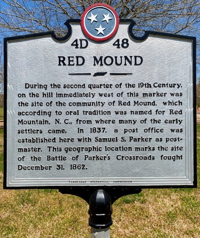
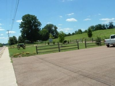
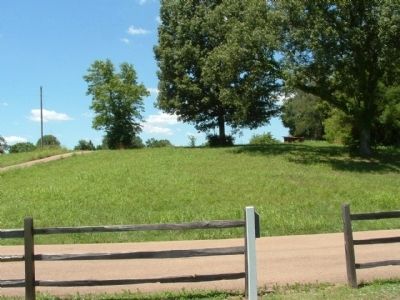
During the second quarter of the 19th Century, on the hill immediately west of this marker was the site of the community of Red Mound, which according to oral tradition was named for Red Mountain, N. C., from where many of the early settlers came. In 1837, a post office was established here with Samuel S. Parker as postmaster. This geographic location marks the site of the Battle of Parker's Crossroads fought December 31, 1862.
Erected by Tennessee Historical Commission. (Marker Number 4D 48.)
Topics and series. This historical marker is listed in these topic lists: Settlements & Settlers • War, US Civil. In addition, it is included in the Tennessee Historical Commission series list. A significant historical date for this entry is December 31, 1862.
Location. 35° 46.366′ N, 88° 23.646′ W. Marker is near Parkers Crossroads, Tennessee, in Henderson County. Marker is on Tennessee Route 22, 0.3 miles south of Expressway Church Road, on the right when traveling south. Touch for map. Marker is in this post office area: Wildersville TN 38388, United States of America. Touch for directions.
Other nearby markers. At least 8 other markers are within walking distance of this marker. The Battle of Parker's Crossroads (here, next to this marker); a different marker also named The Battle of Parker's Crossroads (approx. 0.8 miles away); 7th Wisconsin Light Artillery (approx. 0.9 miles away); Forrest Averts Disaster (approx. 0.9 miles away); Union Wagon Train (approx. 0.9 miles away); Russell & Woodward's Advance (approx. 0.9 miles away); Dunham's Position (approx. 0.9 miles away); The Confederate Escape (approx. 0.9 miles away). Touch for a list and map of all markers in Parkers Crossroads.
Credits. This page was last revised on May 31, 2021. It was originally submitted on February 4, 2012, by Ken Smith of Milan, Tennessee. This page has been viewed 890 times since then and 60 times this year. Last updated on March 10, 2014, by David Graff of Halifax, Nova Scotia. Photos: 1. submitted on May 28, 2021, by Shane Oliver of Richmond, Virginia. 2, 3. submitted on February 4, 2012, by Ken Smith of Milan, Tennessee. 4. submitted on December 29, 2012, by David Graff of Halifax, Nova Scotia. • Bill Pfingsten was the editor who published this page.


