Ransomville in Niagara County, New York — The American Northeast (Mid-Atlantic)
The Site Of Niagara Poultry Farm
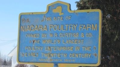
Photographed by Anton Schwarzmueller, March 13, 2014
1. The Site Of Niagara Poultry Farm Marker
Erected by Porter Historical Society.
Topics. This historical marker is listed in these topic lists: Agriculture • Animals • Industry & Commerce.
Location. 43° 14.247′ N, 78° 54.36′ W. Marker is in Ransomville, New York, in Niagara County. It is on Youngstown Lockport Road (New York State Route 93) 0.4 miles east of Ransomville Road, on the right when traveling east. Touch for map. Marker is at or near this postal address: 2596 Younstown Lockport Road, Ransomville NY 14131, United States of America. Touch for directions.

Regionally, this marker is in Upstate New York, specifically in Western New York, and in the Buffalo Metropolitan Area. It is also in the American Northeast and in the Mid-Atlantic. Globally, it is in North America, on the Great Lakes, in the Western Hemisphere, in the Western World, and in the Anglosphere. Historically, it finds itself in what was once the Viceroyalty of New France, the Haudenosaunee (Iroquois) Confederacy,
this page online
Other nearby markers. At least 8 other markers are within walking distance of this marker: Those Who Served in the World War (about 500 feet away, measured in a direct line); Funeral Parlor (about 600 feet away); Fowler Sawmill (approx. 0.2 miles away); The Site of W.H.H. Ransom & Sons, (approx. 0.2 miles away); Grain Mills (approx. ¼ mile away); Swigert's Evaporator (approx. 0.3 miles away); Traveler's Home (approx. 0.3 miles away); Ransomville Schools (approx. 0.4 miles away). Touch for a list and map of all markers in Ransomville.
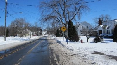
Photographed by Anton Schwarzmueller, March 13, 2014
2. Eastward View Niagara Poultry Farm Marker
Partly obscured by tall evergreen bush.
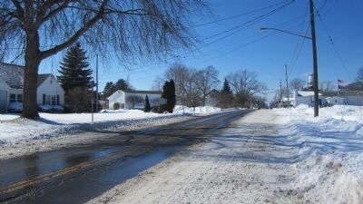
Photographed by Anton Schwarzmueller, March 13, 2014
3. Westward View Niagara Poultry Farm Marker
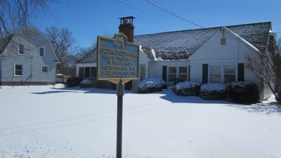
Photographed by Anton Schwarzmueller, March 13, 2014
4. Niagara Poultry Farm Marker
Credits. This page was last revised on June 16, 2016. It was originally submitted on March 16, 2014, by Anton Schwarzmueller of Wilson, New York. This page has been viewed 769 times since then and 35 times this year. Photos: 1, 2, 3, 4. submitted on March 16, 2014, by Anton Schwarzmueller of Wilson, New York. • Bill Pfingsten was the editor who published this page.
