Presidio of San Francisco in San Francisco City and County, California — The American West (Pacific Coastal)
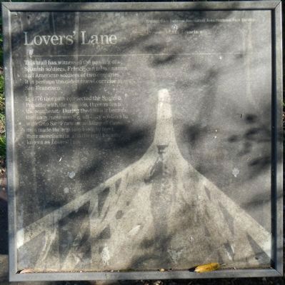
Loverís Lane
In 1776 this path connected the Spanish Presidio with the mission, three miles to the southeast. During the 1860s it became the main route used by off-duty soldiers to walk into San Francisco. Many of the men made the trip into town to meet their sweethearts and the trail became known as Loverís Lane.
Erected by Goldern Gate National Recreation Area.
Topics. This historical marker is listed in these topic lists: Forts and Castles • Roads & Vehicles. A significant historical year for this entry is 1776.
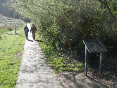
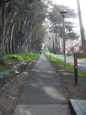
Location. 37° 47.84′ N, 122° 27.243′ W. Marker is in San Francisco, California, in San Francisco City and County. It is in Presidio of San Francisco. Marker is on MacArthur Avenue near Sunset Street, on the right when traveling north. Lover's Lane is a walking path located in the San Francisco Persidio, a part of the Golden Gate National Recreation Area. Touch for map. Marker is in this post office area: San Francisco CA 94129, United States of America. Touch for directions.
Other nearby markers. At least 8 other markers are within walking distance of this marker. Landscaping the Post: From Grassy Hills to Forests (approx. 0.2 miles away); The Alameda (approx. 0.2 miles away); At Home in the Nineteenth Century Army (approx. 0.2 miles away); Bachelor Officers' Quarters: Pershing Hall (approx. 0.2 miles away); Sixth Army Headquarters (approx. 0.2 miles away); Old Post Hospital (approx. 0.2 miles away); Old Station Hospital (approx. 0.2 miles away); Old Post Chapel (approx. ľ mile away). Touch for a list and map of all markers in San Francisco.
Credits. This page was last revised on February 7, 2023. It was originally submitted on March 21, 2014, by Barry Swackhamer of Brentwood, California. This page has been viewed 490 times since then and 10 times this year. Photos: 1, 2, 3. submitted on March 21, 2014, by Barry Swackhamer of Brentwood, California. • Bill Pfingsten was the editor who published this page.


