
Near Keeler in Inyo County, California — The American West (Pacific Coastal)
Owens Lake Dust Mitigation Program
Photographed by Craig Baker, April 30, 2023
1. Owens Lake Dust Mitigation Program Marker
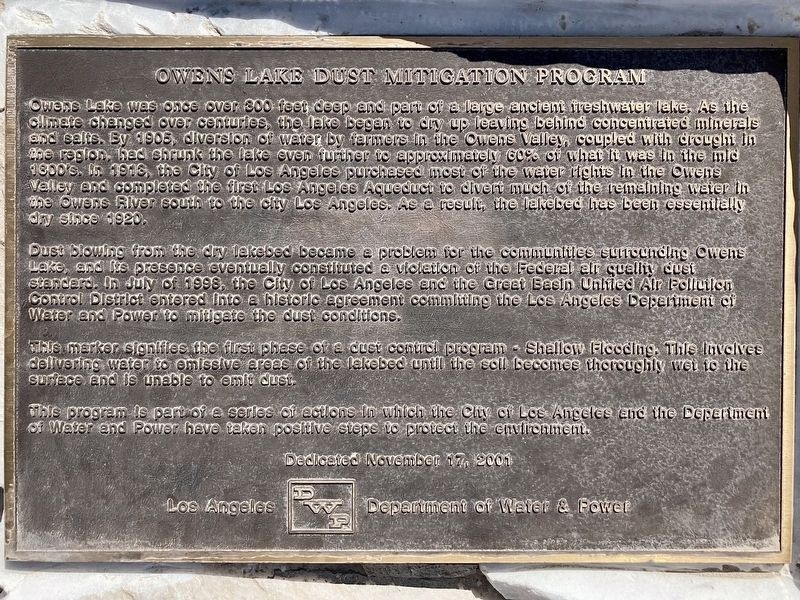
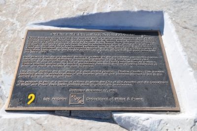
Dust blowing from the dry lakebed became a problem for the communities surrounding Owens Lake, and its presence eventually constituted a violation of the Federal air quality dust standard. In July of 1998, the City of Los Angeles and the Great Basin United Air Pollution Control District entered into a historic agreement committing the Los Angeles Department of Water and Power to mitigate the dust conditions.
This marker signifies the first phase of a dust control
this page online
This program is part of a series of actions in which the City of Los Angeles and the Department of Water and Power have taken positive steps to protect the environment.
Erected 2001 by Los Angeles Department of Water & Power.
Topics and series. This historical marker is listed in these topic lists: Environment • Natural Resources. In addition, it is included in the E Clampus Vitus series list. A significant historical month for this entry is July 1998.
Location. 36° 30.349′ N, 117° 53.321′ W. Marker is near Keeler, California, in Inyo County. It is on California Route 136, 1½ miles north of Keeler, on the left when traveling north. Touch for map. Marker is in this post office area: Keeler CA 93530, United States of America. Touch for directions.

Regionally, this marker is in California’s Sierra Nevada. It is also in the American Mountain West. Globally, it is in North America, on the Ring of Fire, in the Pacific Rim, in the Western Hemisphere,
Photographed by Michael Kindig, November 10, 2013
2. Owens Lake Dust Mitigation Program Marker
Other nearby markers. At least 8 other markers are within 4 miles of this marker, measured as the crow flies: Keeler Then to Now (approx. 1.4 miles away); Keeler (approx. 1½ miles away); Owens Lake Silver-Lead Furnace (approx. 1.6 miles away); Cerro Gordo (approx. 1.8 miles away); New Water, New Life (approx. 1.9 miles away); Gifts of Rock and Water (approx. 2½ miles away); Traces of the Past (approx. 2.8 miles away); Dolomite Mine (approx. 3.4 miles away). Touch for a list and map of all markers in Keeler.
Also see . . . Owens River — California’s Gold. In this hour-long video produced for local PBS television stations in 2008, Huell Howser tours the Owens Lake Dust Mitigation Program and the nearby river and aqueduct. (Submitted on December 6, 2025.)
Photographed by Michael Kindig, November 10, 2013
3. Owens Lake Dust Mitigation Program Marker
Photographed by Craig Baker, April 30, 2023
4. Owens Lake Dust Mitigation Program Marker

Photographed by Craig Baker, May 16, 2026
5. Owens Lake Dust Mitigation Program Marker
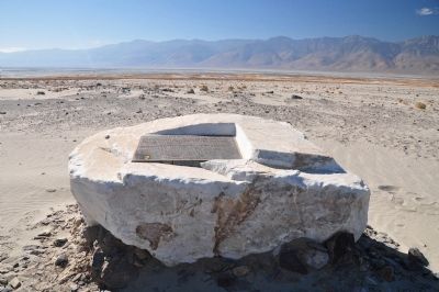
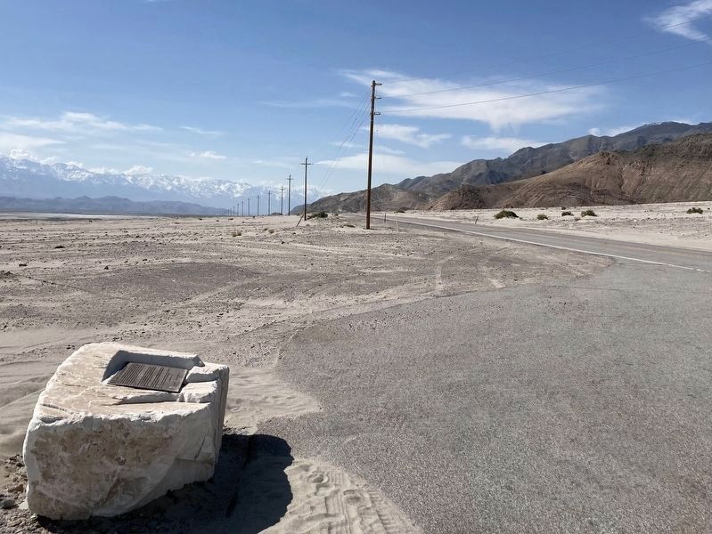
The boulder has been turned up on its side. The plaque is near the ground and difficult to see.
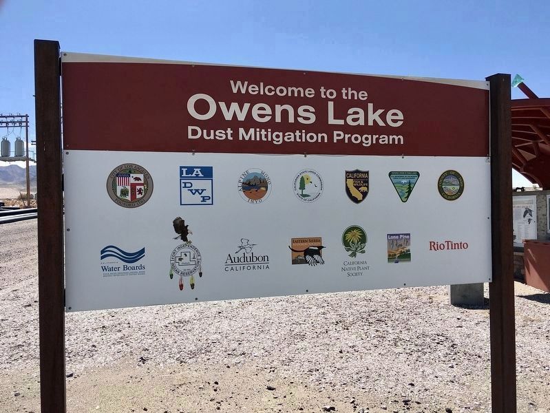
Photographed by Craig Baker, March 29, 2022
6. Owens Lake Dust Mitigation Program Sign
Located near the south end of the lake.
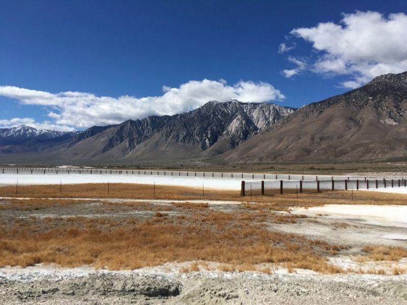
Photographed by Craig Baker, March 29, 2022
7. Owens Lake Dust Mitigation
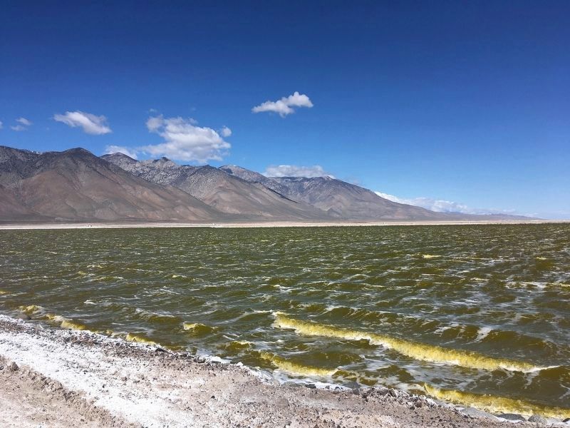
Photographed by Craig Baker, March 29, 2022
8. Owens Lake Dust Mitigation
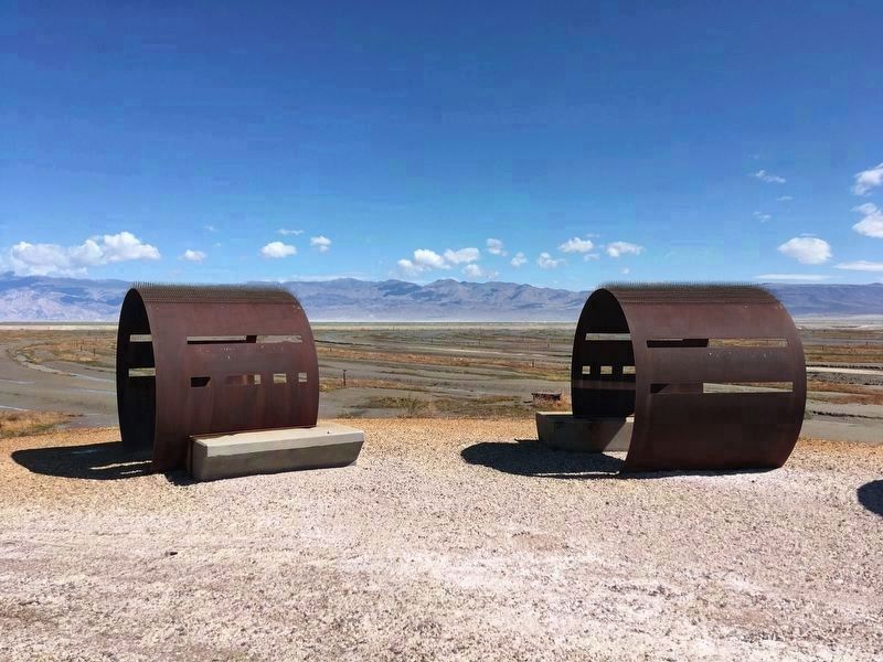
Photographed by Craig Baker, March 29, 2022
9. Public Viewing Site
This is one of three viewing locations on the lake bed.
Credits. This page was last revised on June 1, 2026. It was originally submitted on March 25, 2014, by Michael Kindig of Elk Grove, California. This page has been viewed 1,149 times since then and 62 times this year. Photos: 1. submitted on April 30, 2023, by Craig Baker of Sylmar, California. 2, 3. submitted on March 25, 2014, by Michael Kindig of Elk Grove, California. 4. submitted on April 30, 2023, by Craig Baker of Sylmar, California. 5. submitted on May 16, 2026, by Craig Baker of Sylmar, California. 6, 7, 8, 9. submitted on April 6, 2022, by Craig Baker of Sylmar, California. • Syd Whittle was the editor who published this page.
