Vacaville in Solano County, California — The American West (Pacific Coastal)
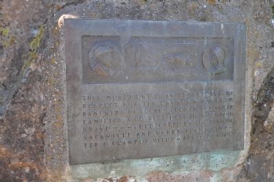
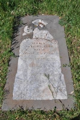
Unknown Pioneer Ranchers
Erected 1974 by City of Vacaville and Yerba Buena Chapter, E Clampus Vitus.
Topics and series. This historical marker is listed in these topic lists: Cemeteries & Burial Sites • Settlements & Settlers. In addition, it is included in the E Clampus Vitus series list. A significant historical month for this entry is April 2001.
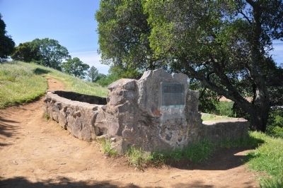
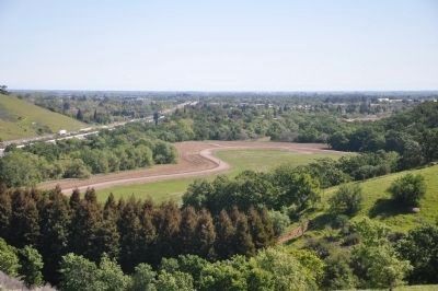
Location. 38° 20.337′ N, 122° 0.762′ W. Marker is in Vacaville, California, in Solano County. Marker can be reached from Lincoln Highway. Marker is located in Vaca-Pena Adobe Park atop a nearby hillside accessible by a recreational trail. Touch for map. Marker is in this post office area: Vacaville CA 95687, United States of America. Touch for directions.
Other nearby markers. At least 8 other markers are within 2 miles of this marker, measured as the crow flies. Pioneer Monument (approx. 0.2 miles away); Peña Adobe Park (approx. 0.2 miles away); Rancho Los Putos (approx. 0.2 miles away); William Gordon Huff (approx. 0.2 miles away); The Valley (approx. half a mile away); Uncle Burt's Tree (approx. 1½ miles away); The Andrew Carnegie Public Library (approx. 1.7 miles away); Barcar Building (approx. 1.8 miles away). Touch for a list and map of all markers in Vacaville.
Credits. This page was last revised on June 16, 2016. It was originally submitted on April 8, 2014, by Michael Kindig of Elk Grove, California. This page has been viewed 645 times since then and 38 times this year. Photos: 1, 2, 3, 4. submitted on April 8, 2014, by Michael Kindig of Elk Grove, California. • Bill Pfingsten was the editor who published this page.


