Ellicott City in Howard County, Maryland — The American Northeast (Mid-Atlantic)
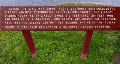
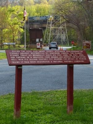
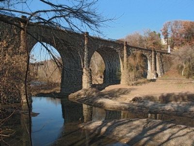
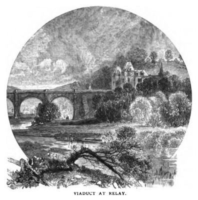
During the Civil War
Topics and series. This historical marker is listed in these topic lists: Bridges & Viaducts • Railroads & Streetcars • War, US Civil. In addition, it is included in the National Historic Landmarks series list.
Location. 39° 13.355′ N, 76° 42.67′ W. Marker is in Ellicott City, Maryland, in Howard County. Marker is on River Road, on the right when traveling west. Marker is just east of the contact station at Patapsco Valley State Park, 8020 Baltimore National Pike, Ellicott City, Maryland. Touch for map. Marker is in this post office area: Ellicott City MD 21043, United States of America. Touch for directions.
Other nearby markers. At least 8 other markers are within walking distance of this marker. A Rural Vacation Spot (within shouting distance of this marker); Masterpiece of the Early B&O Railroad (within shouting distance of this marker); The Thomas Viaduct (about 500 feet away, measured in a direct line); The Relay House (about 600 feet away); Elk Ridge Landing (approx. 0.4 miles away); World War II (approx. 0.4 miles away); Great War (approx. 0.4 miles away); Relay (approx. 0.4 miles away).
Credits. This page was last revised on September 28, 2020. It was originally submitted on May 10, 2014, by Allen C. Browne of Silver Spring, Maryland. This page has been viewed 845 times since then and 23 times this year. Photos: 1, 2, 3, 4. submitted on May 10, 2014, by Allen C. Browne of Silver Spring, Maryland. • Bill Pfingsten was the editor who published this page.


