Parkersburg in Wood County, West Virginia — The American South (Appalachia)
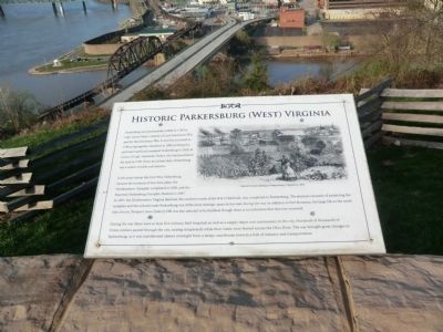
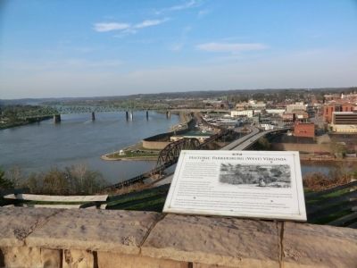
Historic Parkersburg (West) Virginia
In the years before the Civil War, Parkersburg became the terminus of two state pikes, the Northwester Turnpike, completed in 1838, and the Staunton-Parkersburg Turnpike, finished in 1847. In 1857, the Northwestern Virginia Railroad, the southern trunk of the B&O Railroad, was completed to Parkersburg. The absolute necessity of protecting the turnpikes and railroad made Parkersburg one of the most strategic spots in the state during the war. In addition to Fort Boreman, the large hill on the north side of town, Prospect (now Quincy) Hill was also planned to be fortified, though there is no indication that this ever occurred.
During the war there were at least five military field hospitals as well as a supply depot and commissary in the city. Hundreds of thousands of Union soldiers passed through the city, staying temporarily while their trains were ferried across the Ohio River. The war brought great changes to Parkersburg, as it was transformed almost overnight from a sleepy courthouse town to a hub of industry and transportation.
Topics. This historical marker is listed in these topic lists: Industry & Commerce • War, US Civil. A significant historical year for this entry is 1785.
Location. 39° 15.759′ N, 81° 34.166′ W. Marker is in Parkersburg, West Virginia, in Wood County. Marker is on Fort Boreman Drive, one mile south of Robert Byrd Highway (U.S. 50). The marker is located in Fort Boreman Park. Touch for map. Marker is in this post office area: Parkersburg WV 26101, United States of America. Touch for directions.
Other nearby markers. At least 8 other markers are within walking distance of this marker. Parkersburg and the Civil War (here, next to this marker); The Beautiful Ohio River (here, next to this marker); Fort Boreman (a few steps from this marker); Historic Blennerhassett Island (a few steps from this marker); a different marker also named Fort Boreman (within shouting distance of this marker); Welcome (within shouting distance of this marker); William L. “Mudwall” Jackson (within shouting distance of this marker); Parkersburg in 1861 (within shouting distance of this marker). Touch for a list and map of all markers in Parkersburg.
Credits. This page was last revised on June 16, 2016. It was originally submitted on May 10, 2014, by Don Morfe of Baltimore, Maryland. This page has been viewed 696 times since then and 27 times this year. Photos: 1, 2. submitted on May 10, 2014, by Don Morfe of Baltimore, Maryland. • Bill Pfingsten was the editor who published this page.

