Bodega in Sonoma County, California — The American West (Pacific Coastal)
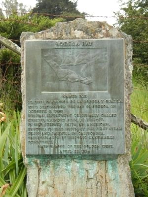
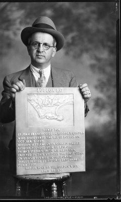
Bodega Bay
Russian settlement originally called Kuskoff, founded by M de Kuskoff.
In 1843 Stephen Smith an American, erected in this vicinity the first steam grist and sawmill in California.
Erected 1934 by Native Sons of the Golden West.
Topics and series. This historical marker is listed in these topic lists: Exploration • Industry & Commerce • Settlements & Settlers • Waterways & Vessels. In addition, it is included in the Native Sons/Daughters of the Golden West series list. A significant historical month for this entry is October 1579.
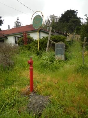
Location. 38° 20.722′ N, 122° 58.44′ W. Marker is in Bodega, California, in Sonoma County. Marker is at the intersection of Bodega Highway (California Route 12) and Salmon Creek Road on Bodega Highway. Touch for map. Marker is at or near this postal address: 17255 Bodega Highway, Bodega CA 94922, United States of America. Touch for directions.
Other nearby markers. At least 8 other markers are within 5 miles of this marker, measured as the crow flies. Church of Saint Teresa of Avila (about 600 feet away, measured in a direct line); Potter School Est. 1873 (about 700 feet away); Watson School (approx. 2 miles away); Running Fence (approx. 2.1 miles away); Christo’s Running Fence (approx. 3.3 miles away); Freestone House (approx. 3.7 miles away); The Children's Bell Tower (approx. 4.2 miles away); Occidental Union Hotel (approx. 4.6 miles away). Touch for a list and map of all markers in Bodega.
Credits. This page was last revised on June 17, 2017. It was originally submitted on May 14, 2014, by Barry Swackhamer of Brentwood, California. This page has been viewed 556 times since then and 27 times this year. Photos: 1, 2. submitted on May 14, 2014, by Barry Swackhamer of Brentwood, California. 3. submitted on June 17, 2017, by James King of San Miguel, California. • Bill Pfingsten was the editor who published this page.


