Blacksville in Monongalia County, West Virginia — The American South (Appalachia)
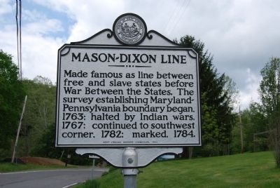
Mason-Dixon Line
Erected 1984 by West Virginia Historic Commission.
Topics and series. This historical marker is listed in these topic lists: Abolition & Underground RR • African Americans • War, US Civil. In addition, it is included in the West Virginia Archives and History series list. A significant historical year for this entry is 1763.
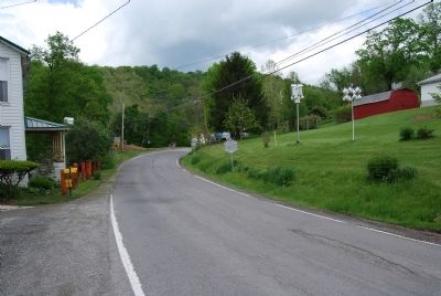
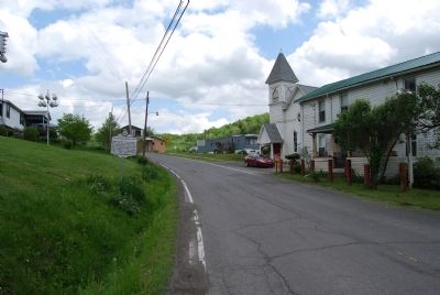
Location. 39° 43.265′ N, 80° 12.818′ W. Marker is in Blacksville, West Virginia, in Monongalia County. Marker is on Daybrook Road (West Virginia Route 218) 0.1 miles north of Mason Dixon Highway (West Virginia Route 7), on the right when traveling north. Touch for map. Marker is in this post office area: Blacksville WV 26521, United States of America. Touch for directions.
Other nearby markers. At least 8 other markers are within 6 miles of this marker, measured as the crow flies. Blacksville (approx. 0.3 miles away); The F-84F Thunderstreak (approx. 0.7 miles away); Veterans Memorial (approx. 2.6 miles away in Pennsylvania); a different marker also named Veterans Memorial (approx. 3.2 miles away); Statler's Fort (approx. 4.1 miles away); Price Memorial Cemetery (approx. 4.4 miles away); Border Heroine (approx. 5.1 miles away); Shanks Mill (approx. 5.3 miles away).
Credits. This page was last revised on June 16, 2016. It was originally submitted on May 17, 2014, by Mike Wintermantel of Pittsburgh, Pennsylvania. This page has been viewed 1,359 times since then and 45 times this year. Photos: 1, 2, 3. submitted on May 17, 2014, by Mike Wintermantel of Pittsburgh, Pennsylvania.


