Near Locust Grove in Orange County, Virginia — The American South (Mid-Atlantic)
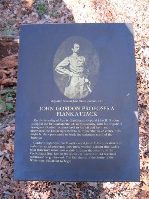
John Gordon Proposes a Flank Attack
Gordon's superiors, Ewell and General Jubal A. Early, hesitated to authorize an advance until they knew without a doubt that such a bold maneuver would not unduly threaten the security of the Confederate line. Late in the afternoon, Gordon at last received permission to go forward. The final drama of the Battle of the Wilderness was about to begin.
Topics. This historical marker is listed in this topic list: War, US Civil.
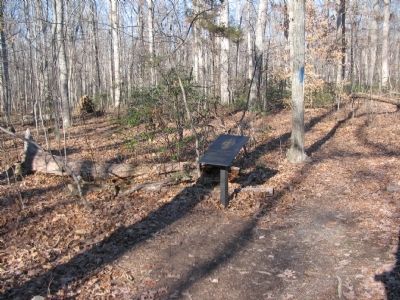
Location. 38° 19.464′ N, 77° 45.925′ W. Marker is near Locust Grove, Virginia, in Orange County. Marker can be reached from Constitution Highway (State Highway 20), on the right when traveling west. The marker is in Wilderness Battlefield at stop 6 of the Gordon Flank Attack trail, near Driving Tour Stop Two (the Exhibit Shelter). Touch for map. Marker is in this post office area: Locust Grove VA 22508, United States of America. Touch for directions.
Other nearby markers. At least 8 other markers are within walking distance of this marker. Fighting on the Evening of May 5, 1864 (about 300 feet away, measured in a direct line); Wilderness Battlefield Memorial (about 400 feet away); From Wilderness Run To Flat Run (about 500 feet away); Dedicated To The Fallen (about 500 feet away); Gordon's Flank Attack (approx. 0.2 miles away); Morning of May 6 (approx. 0.2 miles away); Gordon's Attack Falters (approx. 0.2 miles away); The Federals Fall Back (approx. 0.4 miles away). Touch for a list and map of all markers in Locust Grove.
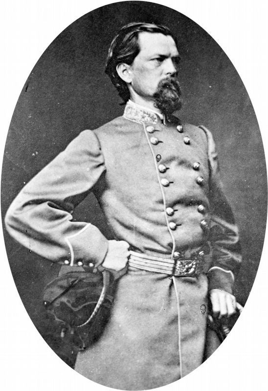
More about this marker. The upper half of the marker displays a portrait of Brigadier General John Brown Gordon, CSA.
Also see . . . Gordon Flank Attack Trail. National Park Service page detailing the Gordon Flank Attack Trail. (Submitted on April 27, 2008, by Craig Swain of Leesburg, Virginia.)
Credits. This page was last revised on May 9, 2019. It was originally submitted on April 27, 2008, by Craig Swain of Leesburg, Virginia. This page has been viewed 1,211 times since then and 12 times this year. Photos: 1, 2, 3. submitted on April 27, 2008, by Craig Swain of Leesburg, Virginia. 4. submitted on May 9, 2019, by Allen C. Browne of Silver Spring, Maryland.


