Near Locust Grove in Orange County, Virginia — The American South (Mid-Atlantic)
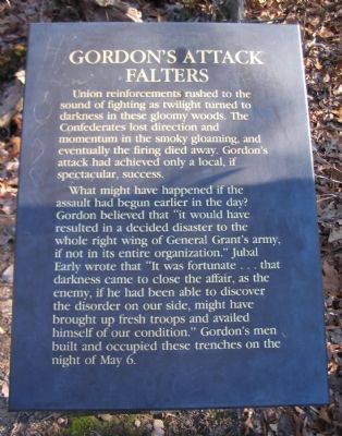
Gordon's Attack Falters
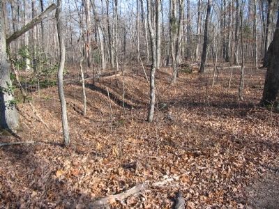
What might have happened if the assault had begun earlier in the day? Gordon believed that "it would have resulted in a decided disaster to the whole right wing of General Grant's army, if not in its entire organization." Jubal Early wrote that "It was fortunate...that darkness came to close the affair, as the enemy, if he had been able to discover the disorder on our side, might have brought up fresh troops and availed himself of our condition." Gordon's men built and occupied these trenches on the night of May 6.
Topics and series. This historical marker is listed in this topic list: War, US Civil. In addition, it is included in the Former U.S. Presidents: #18 Ulysses S. Grant series list. A significant day of the year for for this entry is May 6.
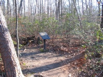
Location. 38° 19.513′ N, 77° 45.758′ W. Marker is near Locust Grove, Virginia, in Orange County. Marker can be reached from Constitution Highway (State Highway 20), on the right when traveling west. The marker is in Wilderness Battlefield at stop 8 of the Gordon Flank Attack trail, near Driving Tour Stop Two (the Exhibit Shelter). Touch for map. Marker is in this post office area: Locust Grove VA 22508, United States of America. Touch for directions.
Other nearby markers. At least 8 other markers are within walking distance of this marker. Gordon's Flank Attack (about 600 feet away, measured in a direct line); Fighting on the Evening of May 5, 1864 (about 600 feet away); Morning of May 6 (about 700 feet away); John Gordon Proposes a Flank Attack (approx. 0.2 miles away); Wilderness Battlefield Memorial (approx. 0.2 miles away); From Wilderness Run To Flat Run (approx. 0.2 miles away); Dedicated To The Fallen (approx. 0.2 miles away); The Federals Fall Back (approx. ¼ mile away). Touch for a list and map of all markers in Locust Grove.
Also see . . . Gordon Flank Attack Trail. National Park Service page detailing the Gordon Flank Attack Trail. (Submitted on April 27, 2008, by Craig Swain of Leesburg, Virginia.)
Credits. This page was last revised on June 16, 2016. It was originally submitted on April 27, 2008, by Craig Swain of Leesburg, Virginia. This page has been viewed 1,113 times since then and 11 times this year. Photos: 1, 2, 3. submitted on April 27, 2008, by Craig Swain of Leesburg, Virginia.


