Near Picacho in Pinal County, Arizona — The American Mountains (Southwest)
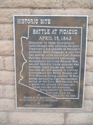
Battle at Picacho
April 15, 1862
Erected 1984 by Children of the Confederacy United Daughters of the Confederacy and Arizona Historical Society.
Topics and series. This historical marker is listed in this topic list: War, US Civil. In addition, it is included in the United Daughters of the Confederacy series list. A significant historical date for this entry is February 14, 1934.
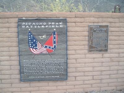
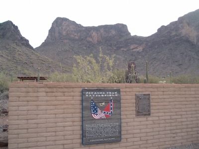
Location. Marker is missing. It was located near 32° 38.756′ N, 111° 24.026′ W. Marker was near Picacho, Arizona, in Pinal County. Marker could be reached from Interstate 10. Marker is just to the south of the Picacho Peak State Park visitor's center. Touch for map. Marker was in this post office area: Picacho AZ 85141, United States of America. Touch for directions.
Other nearby markers. At least 6 other markers are within 17 miles of this location, measured as the crow flies. Memorial to the 1st California Cavalry Volunteers (within shouting distance of this marker); Mormon Battalion Trail (within shouting distance of this marker); Juan Bautista de Anza National Historic Trail / Camp 21: El Aquituni (approx. 1.7 miles away); Red Rock Post Office (approx. 6 miles away); Stage Station and Homestead (approx. 12˝ miles away); In Memory of Tom Mix (approx. 16.7 miles away).
Related markers. Click here for a list of markers that are related to this marker. The Battle of Picacho Pass
Also see . . . Picacho Peak. State Park site, with details on the battle and a video. Note the park will close in June 2010 due to budget cuts. (Submitted on January 28, 2010, by Craig Swain of Leesburg, Virginia.)
Additional commentary.
1. Park closes in summer
Picacho Peak State Park closes during the summer months (typically from around mid-May to mid-September); it is open the rest of the year.
— Submitted April 11, 2014, by Harold Colson of San Diego, California.
2. Marker stolen in June 2020.
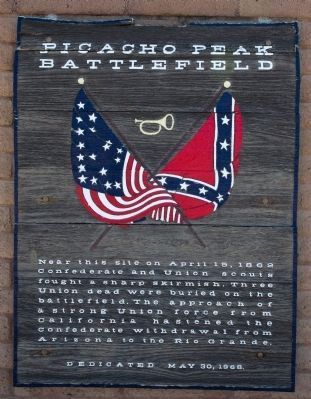
According to a spokesperson for the Arizona State Parks and Trails Park, this plaque was stolen in June. Officials notified authorities and the Arizona Historical Society at the time. It has not been recovered. In July the nearby wooden marker was removed.
— Submitted July 26, 2020, by Mark Hilton of Montgomery, Alabama.
Credits. This page was last revised on July 26, 2020. It was originally submitted on January 19, 2010, by Bill Kirchner of Tucson, Arizona. This page has been viewed 2,715 times since then and 70 times this year. Last updated on May 22, 2014, by Richard E. Miller of Oxon Hill, Maryland. Photos: 1. submitted on January 19, 2010, by Bill Kirchner of Tucson, Arizona. 2. submitted on April 11, 2014, by Harold Colson of San Diego, California. 3, 4. submitted on January 19, 2010, by Bill Kirchner of Tucson, Arizona. • Bill Pfingsten was the editor who published this page.


