South Royalton near Tunbridge in Orange County, Vermont — The American Northeast (New England)
Site of 1780 Raid
Photographed by Kevin Craft, May 17, 2014
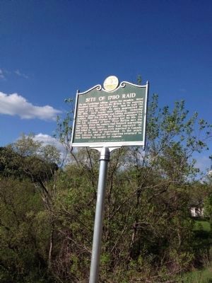
1. Site of 1780 Raid Marker
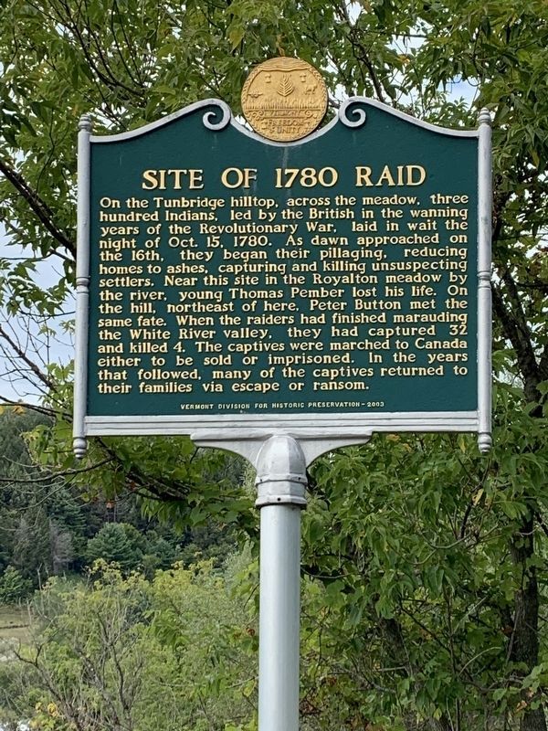
On the Tunbridge hilltop, across the meadow, three hundred Indians, led by the British in the wanning years of the Revolutionary War, laid in wait the night of Oct. 15, 1780. As dawn approached on the 16th, they began their pillaging, reducing homes to ashes, capturing and killing unsuspecting settlers. Near this site in the Royalton meadow by the river, young Thomas Pember lost his life. On the hill, northeast of here, Peter Button met the same fate. When the raiders had finished marauding the White River valley, they had captured 32 and killed 4. The captives were marched to Canada either to be sold or imprisoned. In the years that followed, many of the captives returned to their families via escape or ransom.
Erected 2003 by Vermont Division for Historic Preservation.
Topics and series. This historical marker is listed in these topic lists: Indigenous Peoples and Communities • War, US Revolutionary. In addition, it is included in the Vermont Division for Historic Preservation Markers series list. A significant historical year for this entry is 1780.
Location. 43° 51.162′ N, 72° 30.37′ W. Marker is near Tunbridge,
this page online

Regionally, this marker is in the Connecticut River Valley and in the Green Mountains. It is also in the American Northeast and in New England. Globally, it is in North America, the Western Hemisphere, the Western World, and the Anglosphere. Historically, it finds itself in what was once the Vermont Republic.
Other nearby markers. At least 8 other markers are within 3 miles of this marker, measured as the crow flies: Wagon Wheels Farm (approx. 1.3 miles away); Jessie LaFountain Bigwood (approx. 2.2 miles away); Tunbridge Civil War Memorial (approx. 2½ miles away); Tunbridge World's Fair (approx. 2½ miles away); The Daniel G. Mack Home (approx. 2½ miles away); The Old Stone Bridge (approx. 2.6 miles away); Joseph Smith Birthplace Memorial (approx. 2.6 miles away); The Old Turnpike Road (approx. 2.6 miles away). Touch for a list and map of all markers in Tunbridge.
Photographed by Kevin Craft, May 17, 2014
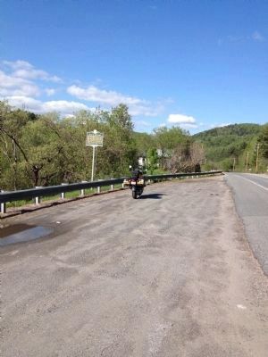
2. Wideview of Site of 1780 Raid Marker
Photographed by Steve Stoessel, September 7, 2020
3. Site of 1780 Raid Marker
Photographed by Kevin Craft, May 17, 2014
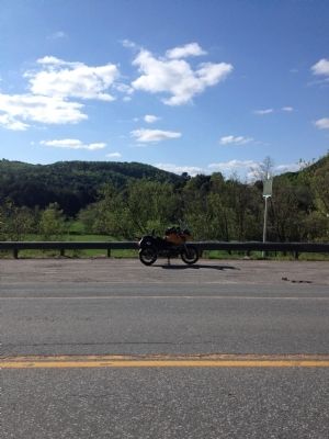
4. Meadow and hilltop
Credits. This page was last revised on February 16, 2023. It was originally submitted on May 23, 2014, by Kevin Craft of Bedford, Quebec. This page has been viewed 1,397 times since then and 65 times this year. Photos: 1, 2. submitted on May 23, 2014, by Kevin Craft of Bedford, Quebec. 3. submitted on September 8, 2020, by Steve Stoessel of Niskayuna, New York. 4. submitted on May 23, 2014, by Kevin Craft of Bedford, Quebec. • Bill Pfingsten was the editor who published this page.
