
Cherokee in Swain County, North Carolina — The American South (South Atlantic)
Nimrod Jarrett Smith
1837–1893
Photographed by Mark Hilton, May 22, 2014
1. Nimrod Jarrett Smith Marker
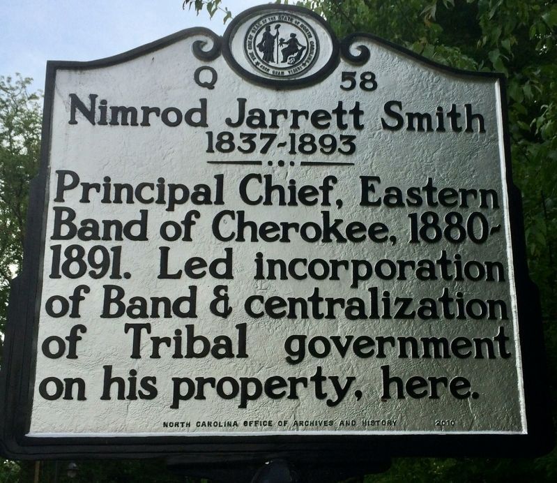
Principal Chief, Eastern Band of Cherokee, 1880-1891. Led incorporation of Band & centralization of Tribal government on his property, here.
Erected 2010 by the North Carolina Office of Archives and History. (Marker Number Q-58.)
Topics and series. This historical marker is listed in this topic list: Indigenous Peoples and Communities. In addition, it is included in the North Carolina Division of Archives and History series list.
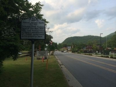
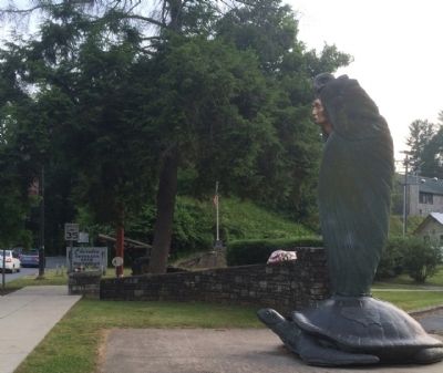
Location. 35° 28.942′ N, 83° 19.05′ W. Marker is in Cherokee, North Carolina, in Swain County. It is on Tsali Boulevard (U.S. 441) 0.1 miles south of Drama Road, on the right when traveling south. Touch for map. Marker is at or near this postal address: 462 Tsali Blvd, Cherokee NC 28719, United States of America. Touch for directions.

Regionally, this marker is in North Carolina’s Mountains and specifically in the Great Smoky Mountains. It is also in the American South, specifically in the Upper South, in Appalachia, and specifically in Southern Appalachia. Globally, it is in North America, the Western Hemisphere, the Western
this page online
Other nearby markers. At least 8 other markers are within walking distance of this marker: Long Hair Clan (within shouting distance of this marker); Cherokee Veterans Park (within shouting distance of this marker); Blue Clan (about 400 feet away, measured in a direct line); Trail of Tears (approx. 0.2 miles away); Sequoyah (approx. 0.2 miles away); Deer Clan (approx. 0.2 miles away); Museum of the Cherokee Indian (approx. 0.2 miles away); Paint Clan (approx. 0.2 miles away). Touch for a list and map of all markers in Cherokee.
Also see . . . Nimrod Jarrett Smith. North Carolina Highway Historical Marker Program website entry (Submitted on May 23, 2014, by Mark Hilton of Montgomery, Alabama.)
Photographed by Mark Hilton, May 23, 2014
2. Nimrod Jarrett Smith Marker Area
Photographed by Mark Hilton, May 23, 2014
3. Nimrod Jarrett Smith Marker Area
Public Domain
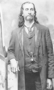
4. Nimrod Jarrett Smith

Photographed by Mark Parker, June 19, 2026
5. Nimrod Jarrett Smith gravesite, approximately 0.2 miles WNW of the marker
Credits. This page was last revised on July 9, 2026. It was originally submitted on May 23, 2014, by Mark Hilton of Montgomery, Alabama. This page has been viewed 1,426 times since then and 43 times this year. Photos: 1. submitted on July 9, 2026, by Mark Hilton of Montgomery, Alabama. 2, 3. submitted on May 23, 2014, by Mark Hilton of Montgomery, Alabama. 4. submitted on September 13, 2016, by Mark Hilton of Montgomery, Alabama. 5. submitted on July 6, 2026, by Mark Parker of Hickory, North Carolina. • Bernard Fisher was the editor who published this page.
