Near Vallonia in Jackson County, Indiana — The American Midwest (Great Lakes)
Driftwood Church and Cemetery
Photographed by Duane Hall, May 22, 2014
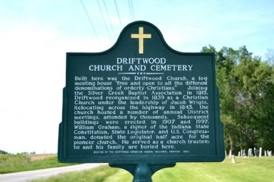
1. Driftwood Church and Cemetery Marker
Erected 1997 by Driftwood Christian Church.
Topics. This historical marker is listed in these topic lists: Cemeteries & Burial Sites • Religion & Religious Structures. A significant historical year for this entry is 1819.
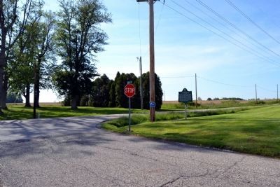
Location. 38° 47.859′ N, 86° 6.099′ W. Marker is near Vallonia, Indiana, in Jackson County. It is at the intersection of State Road 135 and County Road W 550S, on the right when traveling north on State Road 135. Touch for map. Marker is at
this page online

Regionally, this marker is in Southern Indiana. It is also in the American Midwest and in the Corn Belt. Globally, it is in North America, the Western Hemisphere, the Western World, and the Anglosphere. Historically, it finds itself in what was once the territory of the Mississippian Culture and also the Northwest Territory.
Other nearby markers. At least 8 other markers are within 7 miles of this marker, measured as the crow flies: Medora Covered Bridge (approx. 2.9 miles away); Site of Fort Vallonia (approx. 3.2 miles away); Bartholomew Trail (approx. 3.3 miles away); Fort Vallonia (approx. 3.6 miles away); Indian Ambush (approx. 3.7 miles away); Medora Shale Brick Plant (approx. 4.2 miles away); Illinoian Glacier Boundary (approx. 5.2 miles away); In Memory of Col. John Ketcham / Time Capsule (approx. 6.4 miles away). Touch for a list and map of all markers in Vallonia.
Photographed by Duane Hall, May 22, 2014
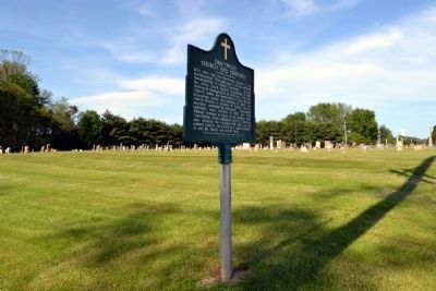
2. Driftwood Church and Cemetery Marker
Photographed by Duane Hall, May 22, 2014
3. Driftwood Church and Cemetery Marker
Photographed by Duane Hall, May 22, 2014
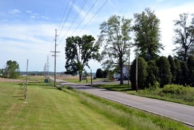
4. Driftwood Church and Cemetery Marker
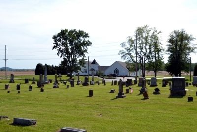
Photographed by Duane Hall, May 22, 2014
5. Driftwood Church and Cemetery
Credits. This page was last revised on June 16, 2016. It was originally submitted on May 29, 2014, by Duane Hall of Abilene, Texas. This page has been viewed 1,042 times since then and 53 times this year. Photos: 1, 2, 3, 4, 5. submitted on May 29, 2014, by Duane Hall of Abilene, Texas.
