Champlain in Essex County, Virginia — The American South (Mid-Atlantic)
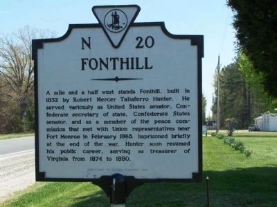
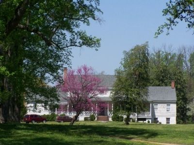
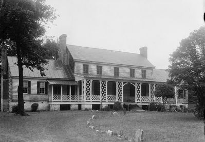
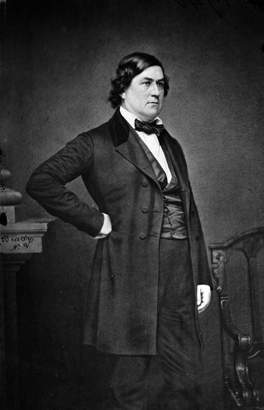
Fonthill
Erected 1980 by Department of Historic Resources. (Marker Number N-20.)
Topics and series. This historical marker is listed in these topic lists: Settlements & Settlers • War, US Civil. In addition, it is included in the Virginia Department of Historic Resources (DHR) series list. A significant historical month for this entry is February 1865.
Location. Marker has been permanently removed. It was located near 38° 0.775′ N, 76° 59.537′ W. Marker was in Champlain, Virginia, in Essex County. Marker was at the intersection of US 17 and VA 631 Lloyd's Road, on the right when traveling south on US 17. Touch for map. Marker was in this post office area: Champlain VA 22438, United States of America.
We have been informed that this sign or monument is no longer there and will not be replaced. This page is an archival view of what was.
Other nearby markers. At least 8 other markers are within 7 miles of this location, measured as the crow flies. Early Settlement (approx. 3.9 miles away); Layton’s Landing Wharf and Ferry (approx. 3.9 miles away); Gouldborough Plantation (approx. 4.7 miles away); Saunders’s Wharf (approx. 5.1 miles away); Rappahannock Indian Migration (approx. 6.1 miles away); Vauter's Church (approx. 6.6 miles away); Pissaseck Indians (approx. 6.8 miles away); Leedstown (approx. 6.8 miles away).
Also see . . . Biographical Directory of the United States Congress. (Submitted on April 27, 2008, by Bill Pfingsten of Bel Air, Maryland.)
Credits. This page was last revised on December 10, 2020. It was originally submitted on April 27, 2008, by Bill Pfingsten of Bel Air, Maryland. This page has been viewed 1,526 times since then and 38 times this year. Photos: 1, 2. submitted on April 27, 2008, by Bill Pfingsten of Bel Air, Maryland. 3. submitted on August 24, 2009. 4. submitted on December 9, 2020, by Allen C. Browne of Silver Spring, Maryland.


