Near Marianna in Jackson County, Florida — The American South (South Atlantic)
Sylvania Plantation
Photographed by Mark Hilton, June 4, 2014
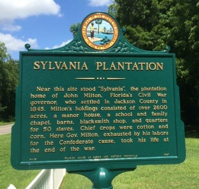
1. Sylvania Plantation Marker
Near this site stood “Sylvania”, the plantation home of John Milton, Florida's Civil War governor, who settled in Jackson County in 1845. Milton's holdings consisted of over 2600 acres, a manor house, a school and family chapel, barns, blacksmith shop, and quarters for 50 slaves. Chief crops were cotton and corn. Here Gov. Milton, exhausted by his labors for the Confederate cause, took his life at the end of the war.
Erected 1961 by the Florida Board of Parks and Historic Memorials. (Marker Number F-35.)
Topics. This historical marker is listed in these topic lists: Government & Politics • War, US Civil. A significant historical year for this entry is 1845.
Location. 30° 47.525′ N, 85° 8.418′ W. Marker is near Marianna, Florida, in Jackson County. It is at the intersection of Blue Springs Road (County Road 164) and Marble Court, on the right when traveling east on Blue Springs Road. Touch for map. Marker is at or near this postal address: 5461 Blue Springs Road, Marianna FL 32446, United States of America. Touch for directions.

Regionally, this marker is on the Florida Panhandle. It is also in the
this page online
Other nearby markers. At least 8 other markers are within 6 miles of this marker, measured as the crow flies: Fight at the Chipola River Bridge (approx. 4.7 miles away); Saint Luke Baptist Church (approx. 5.1 miles away); Davis-West House (approx. 5.1 miles away); Lewis-Wykoff House (approx. 5.2 miles away); Jackson County Veterans Memorial (approx. 5.2 miles away); Great Oaks (approx. 5.2 miles away); Confederate Soldiers Monument (approx. 5.3 miles away); Jackson County (approx. 5.3 miles away). Touch for a list and map of all markers in Marianna.
Photographed by Mark Hilton, June 4, 2014
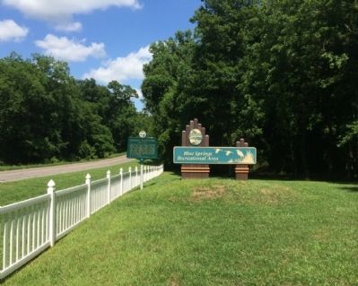
2. Sylvania Plantation Marker Area
Public domain
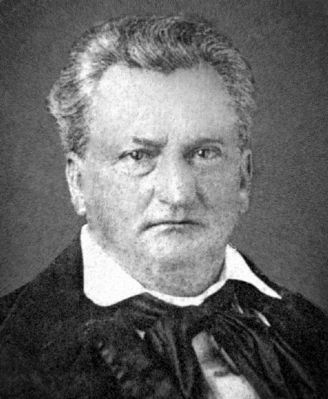
3. John Milton - Governor of Florida (1861-65)
Photographed by Mark Hilton, June 4, 2014
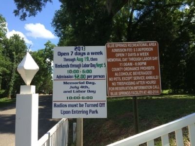
4. Location of marker - Blue Springs Recreation Area
Credits. This page was last revised on October 12, 2025. It was originally submitted on June 5, 2014, by Mark Hilton of Montgomery, Alabama. This page has been viewed 4,087 times since then and 285 times this year. Photos: 1, 2, 3, 4. submitted on June 5, 2014, by Mark Hilton of Montgomery, Alabama. • Bernard Fisher was the editor who published this page.
