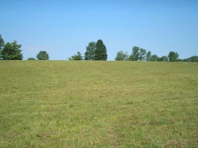
Hubbardton in Rutland County, Vermont — The American Northeast (New England)
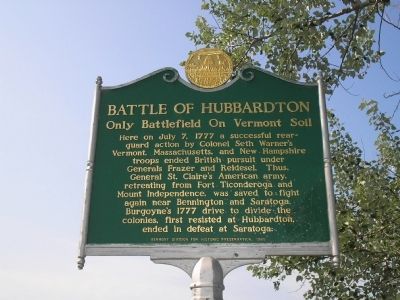
Battle of Hubbardton
Only Battlefield On Vermont Soil
Here on July 7, 1777 a successful rearguard action by Colonel Seth Warner’s Vermont, Massachusetts, and New Hampshire troops ended British pursuit under Generals Frazer and Reldesel. Thus, General St. Claire’s American army, retreating from Fort Ticonderoga and Mount Independence, was saved to fight near Bennington and Saratoga. Burgoyne’s 1777 drive to divide the colonies, first resisted at Hubbardton, ended in defeat at Saratoga.
Erected 1989 by Vermont Division for Historic Preservation.
Topics and series. This historical marker is listed in these topic lists: Military • Notable Events • Notable Places • War, US Revolutionary. In addition, it is included in the Battlefield Trails - Revolutionary War series list. A significant historical month for this entry is July 1829.
Location. 43° 41.712′ N, 73° 8.308′ W. Marker is in Hubbardton, Vermont, in Rutland County. Marker is on Monument Hill Road, on the left when traveling north. Touch for map. Marker is at or near this postal address: 5696 Monument Hill Road, Castleton VT 05735, United States of America. Touch for directions.
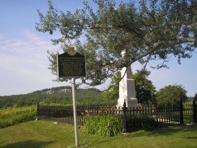
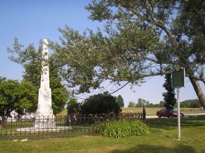
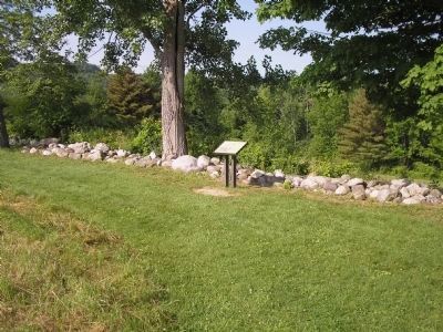
Other nearby markers. At least 8 other markers are within walking distance of this marker. Hubbardton Battle Monument (a few steps from this marker); Germans Arrive, Americans Retreat (within shouting distance of this marker); Welcome to the Hubbardton Battlefield State Historic Site (within shouting distance of this marker); The Selleck Cabin (about 600 feet away, measured in a direct line); British Flank Near Mt. Zion (about 700 feet away); British Flank The Americans (about 700 feet away); Monument Hill And The Morning Charge (about 700 feet away); Beginnings of the Battle (about 700 feet away). Touch for a list and map of all markers in Hubbardton.
Related markers. Click here for a list of markers that are related to this marker. This series of markers tell the story of the Battle of Hubbardton.
Credits. This page was last revised on November 4, 2020. It was originally submitted on July 14, 2008, by Bill Coughlin of Woodland Park, New Jersey. This page has been viewed 2,538 times since then and 29 times this year. Last updated on June 16, 2014, by Kevin Craft of Bedford, Quebec. Photos: 1. submitted on July 14, 2008, by Bill Coughlin of Woodland Park, New Jersey. 2, 3. submitted on July 15, 2008, by Bill Coughlin of Woodland Park, New Jersey. 4, 5. submitted on July 16, 2008, by Bill Coughlin of Woodland Park, New Jersey. • Bill Pfingsten was the editor who published this page.
