Eau Claire in Eau Claire County, Wisconsin — The American Midwest (Great Lakes)
"Haymarket Square"
Where Two Rivers Meet
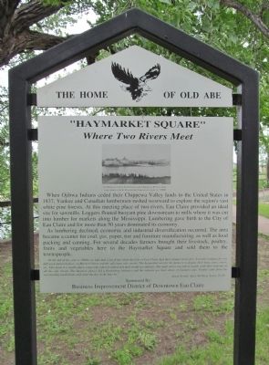
When Ojibwa Indians ceded their Chippewa Valley lands to the United States in 1837, Yankee and Canadian lumbermen rushed westward to explore the region's vast white pine forests. At this meeting plasce of two rivers, Eau Claire provided an ideal site for sawmills. Loggers floated buoyant pine downstream to mills where it was cut into lumber for markets along the Mississippi. Lumbering gave birth to the City of Eau Claire and for more than 50 years dominated its economy.
As lumbering declined, economic and industrial diversification occurred. The area became a center for coal, gas, paper, tire and furniture manufacturing, as well as food packing and canning. For several decades farmers brought their livestock, poultry, fruits and vegetables here to the Haymarket Square and sold them to the townspeople.
"In the fall of the year (c. 1900s) we kids had a lot of fun when the City of Eau Claire had their annual street fair. It would continue for one full week and took place on Barstow Street and the adjoining side streets. The haymarket was for the farmers to display their hogs, cows, steers, etc. This made it a smelly place, especially when it rained and mud would accumulate. The main street was full of stands, with show tents up on all the side streets. The business places did a flourishing business and the saloons got their share of business also. People came from the surrounding small towns and spent the day in the big city.”
Business Improvement District
of Downtown Eau Claire
Erected by the City of Eau Claire Landmark Commission. (Marker Number 12.)
Topics. This historical marker is listed in these topic lists: Exploration • Industry & Commerce • Native Americans • Settlements & Settlers. A significant historical year for this entry is 1837.
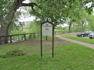
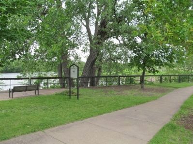
Location. 44° 48.715′ N, 91° 30.144′ W. Marker is in Eau Claire, Wisconsin, in Eau Claire County. Marker can be reached from the intersection of Eau Claire Street and Graham Avenue. Marker is along the south bank of the Eau Claire River at its confluence with the Chippewa River. Touch for map. Marker is in this post office area: Eau Claire WI 54701, United States of America. Touch for directions.
Other nearby markers. At least 8 other markers are within walking distance of this marker. City of Bridges (about 700 feet away, measured in a direct line); Eau Claire River (about 700 feet away); Eau Claire (approx. 0.2 miles away); City Hall (approx. 0.2 miles away); Eau Claire Public Library (approx. 0.2 miles away); Woltersdorf House (approx. ¼ mile away); Fournier's Dancing Academy and Ballroom (approx. ¼ mile away); Eau Claire County War Memorial (approx. 0.3 miles away). Touch for a list and map of all markers in Eau Claire.
More about this marker.
photo caption:
Confluence of the Eau Claire and Chippewa Rivers. Gas-coke plant on left, Haymarket Square on right. C. 1900
Also see . . .
1. Eau Claire River (Chippewa River). Wikipedia entry. (Submitted on June 21, 2014.)
2. Chippewa River (Wisconsin). Wikipedia entry. (Submitted on June 21, 2014.)
3. Eau Claire Downtown Farmers Market. (Submitted on June 21, 2014.)
Credits. This page was last revised on June 16, 2016. It was originally submitted on June 21, 2014, by Keith L of Wisconsin Rapids, Wisconsin. This page has been viewed 662 times since then and 33 times this year. Photos: 1, 2, 3. submitted on June 21, 2014, by Keith L of Wisconsin Rapids, Wisconsin.


