Near Winchester in Clark County, Kentucky — The American South (East South Central)
Three Confederate Raids
Inscription.
Constant Confederate Raids Forced the Union Army to Take Action
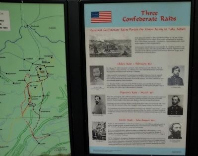
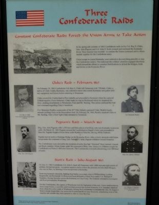
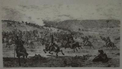
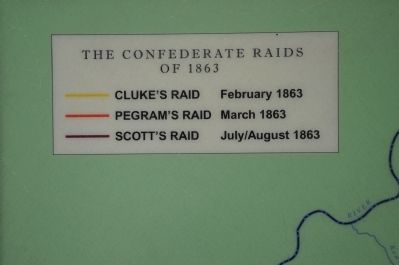
In the spring and summer of 1863 Confederate raids led by Col. Roy S. Cluke, Gen. John Pegram and Col. John S. Scott crossed and recrossed the Kentucky River. Their mission was twofold - to confuse the Union command and to obtain needed supplies for the Confederate army.
Union troops in central Kentucky were ordered to do everything possible to stop the Confederate raiders. The raids kept the soldiers' attention engaged elsewhere, which slowed the efforts to construct fortifications to defend the bridges, fords and ferries on the Kentucky River.
Cluke's Raid - February 1863
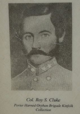
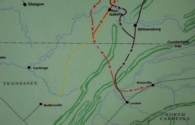
On February 19, 1863 Confederate Col. Roy S. Cluke left Tennessee with 750 men. Cluke, a native of Clark County, Kentucky, was ordered to move into central Kentucky and gather military equipment and horses before returning to Tennessee.
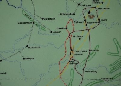
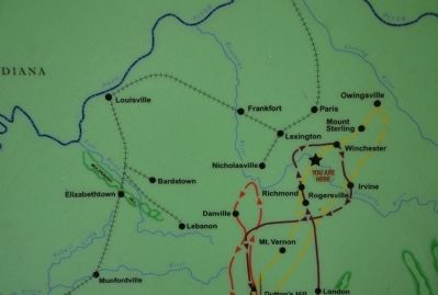
Cluke crossed the Cumberland at Port Isabella and proceeded to Somerset where he captured Federal supplies. From Somerset, Cluke made his way to Richmond where he dispersed his force, sending detachments to Winchester, Paris, and Mt. Sterling. This action confused the Federal command regarding Cluke's intentions.
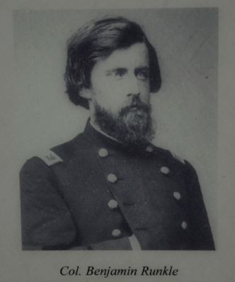
Col. Benjamin Runkle, commander of the 45th Ohio Infantry, pursued Cluke. Runkle barely missed catching Cluke at the Boonesboro ford. On February 24, 1863, Runkle attacked Cluke at Mt. Sterling. After a brief fight Cluke retreated to Tennessee.
Pegram's Raid - March 1863
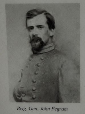
Brig. Gen. John Pegram, with 1,550 men and three pieces of artillery, rode into Kentucky to procure cattle. On March 22, 1863 Pegram crossed the Cumberland at Stigall's Ferry and proceeded to Danville. Pegram fought a Union force under Runkle at Danville, driving off the Federals.
Pegram moved north to Hickman Bridge on the Kentucky River. After a lively skirmish with Union troops under the command of Brig. Gen. Samuel P. Carter, Pegram withdrew toward Somerset.
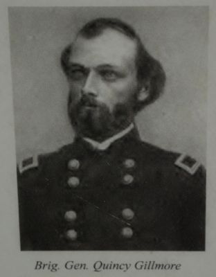
The Confederates were slowed by the hundreds of cattle they had "liberated" from Garrard, Lincoln and Boyle Counties. Union troops under the command of Brig. Gen. Quincy A. Gillmore caught the Confederates at Dutton's Hill near Somerset. The Confederates retreated, abandoning over 400 head of cattle.
Scott's Raid - July-August 1863
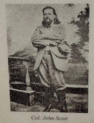
On July 25, 1863 Confederate Col. John S. Scott left Tennessee with 1,000 men and eight pieces of artillery. He had two goals - to capture supplies and to relieve the pressure on John Hunt Morgan, who was in Ohio, by drawing Union troops back to Kentucky.
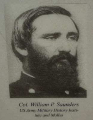
Scott was harrassed constantly, fighting four battles in as many days at Williamsburg, London, Rogersville and Richmond. At Richmond Scott defeated a Union force under Col. William P. Saunders, forcing Saunders across the Kentucky at Clay's Ferry. The Federals retreated to Lexington and Scott proceeded to Winchester.
For the Confederates, the capture of Winchester was the high point of the raid. Union reinforcements from Camp Nelson, Louisville and Cincinnati poured into central Kentucky. Col. Saunders attacked Scott about five miles south of Winchester, forcing the Confederates to abandon the city. On August 1, Scott's troops fought their way across the Cumberland River near Somerset, abandoning most of the supplies and animals they had captured in order to cross the river.
Erected by The Winchester/Clark County Tourism Commission.
Topics. This historical marker is listed in this topic list: War, US Civil. A significant historical month for this entry is February 1863.
Location. 37° 53.411′ N, 84° 15.627′ W. Marker is near Winchester, Kentucky, in Clark County. Marker can be reached from Ford Road/4 Mile Road (Kentucky Route 1924) 1.2 miles south of Boonesboro Road (Kentucky Route 627), on the left when traveling south. The exhibit can be reached from the parking area on KY Route 1924. The trailhead is at the edge of the parking area here. This wayside exhibit can be found partway up the trail that leads to the fort at the top of the hill. Touch for map. Marker is at or near this postal address: 1250 Ford Road, Winchester KY 40391, United States of America. Touch for directions.
Other nearby markers. At least 8 other markers are within walking distance of this marker. Defending the Kentucky River (here, next to this marker); Roads in the Wilderness (a few steps from this marker); A Long, Steep Road (a few steps from this marker); The Quest for Land (within shouting distance of this marker); The Eye of the Rich Land (within shouting distance of this marker); Rock and Man (within shouting distance of this marker); Common Cliffside Plants (within shouting distance of this marker); An Unrealized Plan (about 400 feet away, measured in a direct line). Touch for a list and map of all markers in Winchester.
More about this marker. This marker is part of the historic site known as the "Civil War Fort at Boonesboro." CAUTION: The climb up the hill is VERY steep.
Also see . . . Civil War Fort at Boonesboro. (Submitted on June 22, 2014.)
Credits. This page was last revised on June 16, 2016. It was originally submitted on June 22, 2014, by Karl Stelly of Gettysburg, Pennsylvania. This page has been viewed 1,021 times since then and 72 times this year. Photos: 1, 2, 3, 4, 5, 6, 7, 8, 9, 10, 11, 12, 13. submitted on June 22, 2014, by Karl Stelly of Gettysburg, Pennsylvania. • Bernard Fisher was the editor who published this page.
