Randolph in Tipton County, Tennessee — The American South (East South Central)
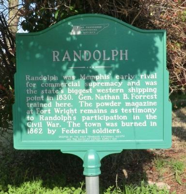
Randolph
Erected 1986 by West Tennessee Historical Society and the Randolph History Buffs.
Topics. This historical marker is listed in this topic list: War, US Civil. A significant historical year for this entry is 1830.
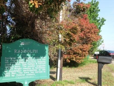
Location. 35° 31.055′ N, 89° 53.398′ W. Marker is in Randolph, Tennessee, in Tipton County. Marker is on Ballard Slough Road, 0.1 miles north of Randolph Road, on the left when traveling north. Touch for map. Marker is in this post office area: Drummonds TN 38023, United States of America. Touch for directions.
Other nearby markers. At least 8 other markers are within 9 miles of this marker, measured as the crow flies. Twin Defenses (a few steps from this marker); Randolph United Methodist Church (within shouting distance of this marker); Fort Wright, C.S.A. (approx. ¼ mile away); Munford United Methodist Church (approx. 6.4 miles away); Mt. Zion — Munford (approx. 6½ miles away); a different marker also named Randolph (approx. 7.6 miles away); Atoka Evangelical Presbyterian Church (approx. 8½ miles away); Outer Breastworks (approx. 8½ miles away). Touch for a list and map of all markers in Randolph.
Credits. This page was last revised on June 16, 2016. It was originally submitted on June 23, 2014, by Don Morfe of Baltimore, Maryland. This page has been viewed 576 times since then and 22 times this year. Photos: 1, 2, 3. submitted on June 23, 2014, by Don Morfe of Baltimore, Maryland. • Bernard Fisher was the editor who published this page.


