Near Buffalo Gap in Taylor County, Texas — The American South (West South Central)
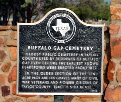
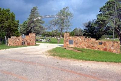
Buffalo Gap Cemetery
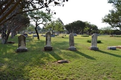
Oldest public cemetery in Taylor County; used by residents of Buffalo Gap even before the earliest known headstones were erected about 1877.
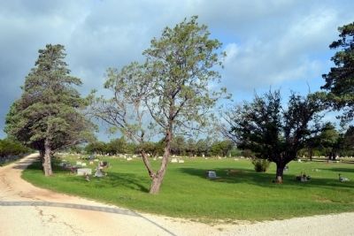
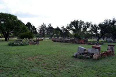
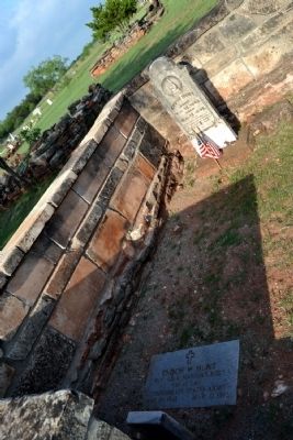
In the older section of the ten-acre plot are 146 graves, many of Civil War veterans and pioneer citizens of Taylor County. Tract is still in use.
Erected 1968 by State Historical Survey Committee. (Marker Number 559.)
Topics. This historical marker is listed in this topic list: Cemeteries & Burial Sites. A significant historical year for this entry is 1877.
Location. 32° 15.925′ N, 99° 51.072′ W. Marker is near Buffalo Gap, Texas, in Taylor County. Marker can be reached from Farm to Market Road 89, 1.4 miles west of Litel Street, on the right when traveling west. Marker is approx. 1½ miles west of the town of Buffalo Gap. Touch for map. Marker is in this post office area: Buffalo Gap TX 79508, United States of America. Touch for directions.
Other nearby markers. At least 8 other markers are within 6 miles of this marker, measured as the crow flies. Buffalo Gap College (approx. 1.8 miles away); Town of Buffalo Gap (approx. 1.8 miles away); Vicinity of Indian Fight (approx. 1.8 miles away); The Ernie Wilson Museum (approx. 2 miles away); Taylor County (approx. 2 miles away); The Civilian Conservation Corps at Abilene State Park (approx. 2˝ miles away); Jim Ned Creek (approx. 5.4 miles away); Cedar Gap Community (approx. 5.4 miles away). Touch for a list and map of all markers in Buffalo Gap.
Also see . . . Buffalo Gap Cemetery Research. From the findagrave.com website. (Submitted on June 25, 2014.)
Credits. This page was last revised on November 29, 2020. It was originally submitted on June 25, 2014, by Duane Hall of Abilene, Texas. This page has been viewed 697 times since then and 47 times this year. Photos: 1, 2, 3, 4, 5, 6. submitted on June 25, 2014, by Duane Hall of Abilene, Texas.
