Potomac in Montgomery County, Maryland — The American Northeast (Mid-Atlantic)
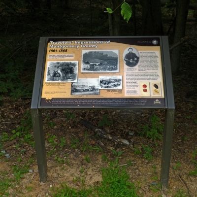
Traveler's Impressions of Montgomery County
1861 - 1865
Inscription.
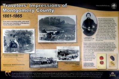
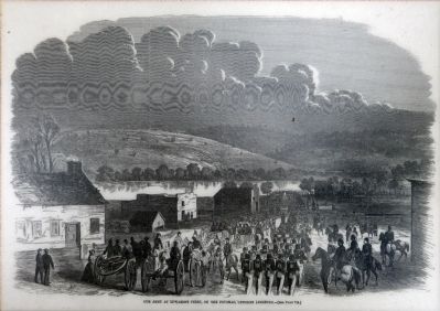
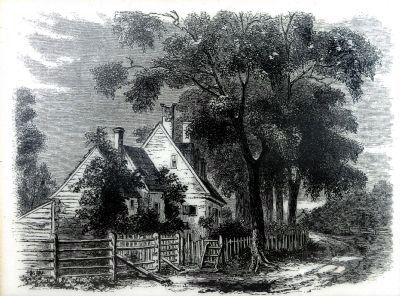
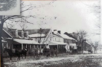
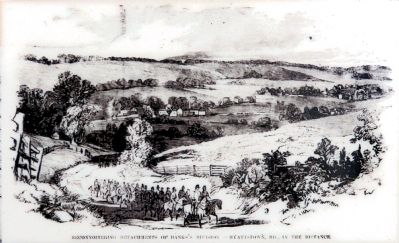
If you were a marching soldier, what would have been your impression of Montgomery County during the Civil War?
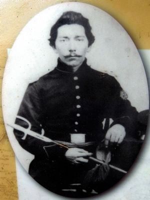
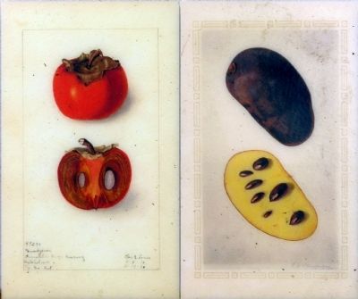
While the built environment may not have impressed travelers, the variety of natural resources in this area garnered admiration. Sergeant Henry C. Lyons of the 34th New York Volunteer Infantry, while stationed in Poolesville, sent samples of both paw-paw and persimmon seeds to his home in South Pulteney, New York. Lyons directed his brother to plant seeds in the spring of 1862, "I will be up there by the time they are large enough to make a shade for me to lie under." Sadly, Lyons died at the Battle of Antietam later that year.
Interest in plants went beyond just being a local curiosity. With medical supplies and drugs becoming increasingly scarce as the war progressed, reliance on natural remedies increased. The bark and root of the persimmon, for example, was used as an astringent to clean wounds and to cure kidney problems and diarrhea. For hungry soldiers, the natural environment offered an additional source of food. Trees such as the pawpaw provided seasonal fruit that could be enjoyed on a nice sunny day under a full leaf canopy.
"A ride from Rockville to Great Falls on the Potomac, though passing through an old settled country, is suggestive of the frontier of Iowa or Missouri. Dwellings are scarce and rude in their construction... Within and without the houses there is nothing like taste displayed.... The country is sparsely settled. A ride of ten miles this morning from Rockville to the river did not disclose a dozen houses.... I traveled over a mile before I found anybody who could correct me in the error of my way." -- New York Times 9 October 1861.
Erected by Montgomery Parks.
Topics. This historical marker is listed in these topic lists: Horticulture & Forestry • War, US Civil. A significant historical date for this entry is October 9, 1861.
Location. 39° 3.966′ N, 77° 18.291′ W. Marker is in Potomac, Maryland, in Montgomery County. Marker can be reached from River Road (Maryland Route 190) 1.6 miles east of Seneca Road (Maryland Route 112), on the right when traveling east. Marker is in Blockhouse Point Conservation Park along River Road. Touch for map. Marker is at or near this postal address: 14750 River Road, Potomac MD 20854, United States of America. Touch for directions.
Other nearby markers. At least 8 other markers are within 2 miles of this marker, measured as the crow flies. Life During Encampment in Montgomery County (here, next to this marker); Lockhouse 22 (approx. 1.2 miles away); Rowser’s Ford (approx. 1.3 miles away); Washington's Canal (approx. 1.3 miles away in Virginia); Potomac Connections
(approx. 1.8 miles away in Virginia); Seneca Tract (approx. 1.8 miles away in Virginia); a different marker also named Rowser's Ford (approx. 1.9 miles away in Virginia); Crossing the Potomac at Rowser's Ford (approx. 1.9 miles away in Virginia).
Also see . . .
1. Pawpaw (Asimina triloba). Wildflower in Focus, Melanie Choukas-Bradley and Tina Thieme Brown, Maryland Native Plant Society. (Submitted on June 28, 2014, by Allen C. Browne of Silver Spring, Maryland.)
2. Persimmon (Diospyros virginiana). Wikipedia entry (Submitted on June 28, 2014, by Allen C. Browne of Silver Spring, Maryland.)
Credits. This page was last revised on March 9, 2022. It was originally submitted on June 28, 2014, by Allen C. Browne of Silver Spring, Maryland. This page has been viewed 406 times since then and 17 times this year. Photos: 1, 2, 3, 4, 5, 6, 7, 8. submitted on June 28, 2014, by Allen C. Browne of Silver Spring, Maryland. • Bill Pfingsten was the editor who published this page.
