Buckland in Auglaize County, Ohio — The American Midwest (Great Lakes)
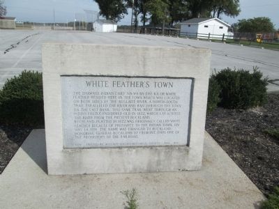
White Feather's Town
Shawnee Village on the Auglaize River
Buckland, platted in 1872, was originally called White Feather because of the proximity to the Indian town. On May 14, 1891 the name was changed to Buckland. Honoring General Buckland of Fremont, Ohio, one of the promoters of the railroad.
Erected 1980 by Auglaize County Historical Society.
Topics. This historical marker is listed in this topic list: Native Americans. A significant historical month for this entry is May 1861.
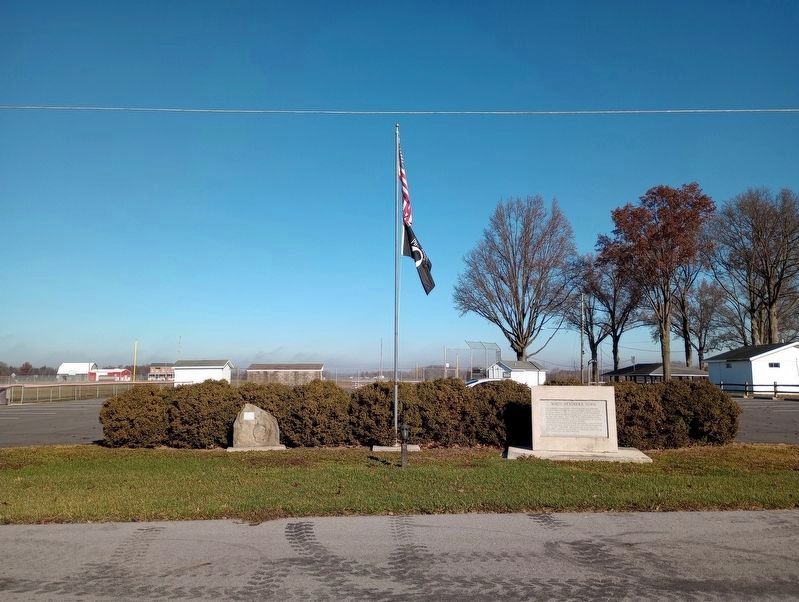
Location. 40° 37.661′ N, 84° 15.558′ W. Marker is in Buckland, Ohio, in Auglaize County. Marker is at the intersection of Cemetery Road and Main Street (Ohio Route 197), on the left when traveling east on Cemetery Road. marker is in a City Park, on cemetery Road at the corner of NW Oak Street. Cemetery Road runs east off of St Rt 197 (Main Street) Park is at the north edge of town. The cemetery seperates the park from the Auglaize River. Touch for map. Marker is in this post office area: Buckland OH 45819, United States of America. Touch for directions.
Other nearby markers. At least 8 other markers are within 4 miles of this marker, measured as the crow flies. The Mystery Stone (a few steps from this marker); Buckland Cemetery (within shouting distance of this marker); Buckland Veterans Memorial (about 500 feet away, measured in a direct line); Buckland and the Railroad (approx. ¼ mile away); Fort Amanda (approx. 3.7 miles away); Fort Amanda Monument (approx. 3.7 miles away); Sketch of a Soldier (approx. 3.7 miles away); a different marker also named Fort Amanda (approx. 3.7 miles away). Touch for a list and map of all markers in Buckland.
More about this marker. There are other un-related markers at this site
Credits. This page was last revised on December 29, 2023. It was originally submitted on June 21, 2014, by Rev. Ronald Irick of West Liberty, Ohio. This page has been viewed 1,438 times since then and 73 times this year. Last updated on June 28, 2014, by Rev. Ronald Irick of West Liberty, Ohio. Photos: 1. submitted on June 21, 2014, by Rev. Ronald Irick of West Liberty, Ohio. 2. submitted on November 19, 2023, by Craig Doda of Napoleon, Ohio. • Bill Pfingsten was the editor who published this page.

