Deep Gap in Watauga County, North Carolina — The American South (South Atlantic)
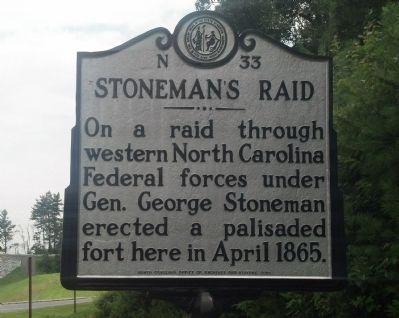
Stoneman's Raid
Erected 2005 by North Carolina Office of Archives and History. (Marker Number N-33.)
Topics and series. This historical marker is listed in these topic lists: Forts and Castles • War, US Civil. In addition, it is included in the North Carolina Division of Archives and History series list. A significant historical month for this entry is April 1865.
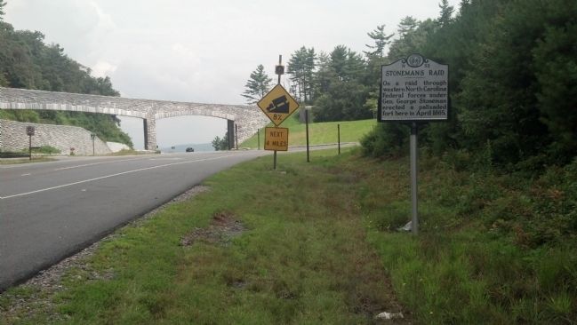
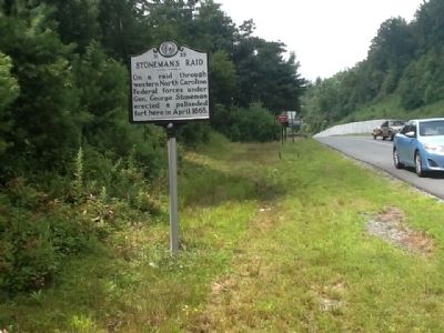
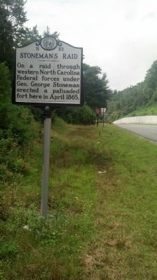
Location. 36° 13.825′ N, 81° 30.033′ W. Marker is in Deep Gap, North Carolina, in Watauga County. Marker is at the intersection of U.S. 421 and Blue Ridge Parkway, on the right when traveling south on U.S. 421. Touch for map. Marker is in this post office area: Deep Gap NC 28618, United States of America. Touch for directions.
Other nearby markers. At least 8 other markers are within 8 miles of this marker, measured as the crow flies. E. B. Jeffress Park (approx. 2.6 miles away); R. T. Greer & Company Root and Herb Warehouse (approx. 4.4 miles away); Mt. Jefferson (approx. 6.6 miles away); Tom Dula (approx. 7˝ miles away); Todd Historic District (approx. 7.6 miles away); Todd Mercantile Building (approx. 7.6 miles away); Bank of Todd (approx. 7.6 miles away); Post Office (Former) (approx. 7.6 miles away).
Credits. This page was last revised on June 16, 2016. It was originally submitted on June 30, 2014, by Michael C. Wilcox of Winston-Salem, North Carolina. This page has been viewed 647 times since then and 29 times this year. Photos: 1, 2, 3, 4. submitted on June 30, 2014, by Michael C. Wilcox of Winston-Salem, North Carolina. • Bernard Fisher was the editor who published this page.


