Akron in Erie County, New York — The American Northeast (Mid-Atlantic)
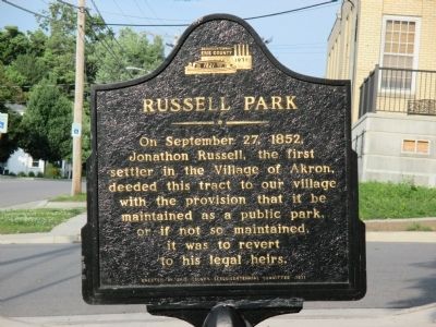
Russell Park
Photographed by Anton Schwarzmueller, July 1, 2014
1. Russell Park Marker
Erected 1971 by Erie County Sesquicentennial Committee.
Topics. This historical marker is listed in these topic lists: Charity & Public Work • Environment • Settlements & Settlers. A significant historical date for this entry is September 27, 1852.
Location. 43° 1.265′ N, 78° 29.867′ W. Marker is in Akron, New York, in Erie County. It is at the intersection of John Street and Church Street, on the right when traveling east on John Street. Touch for map. Marker is in this post office area: Akron NY 14001, United States of America. Touch for directions.

Regionally, this marker is in Upstate New York, specifically in Western New York, and in the Buffalo Metropolitan Area. It is also in the American Northeast and in the Mid-Atlantic. Globally, it is in North America, on the Great Lakes, in the Western Hemisphere, in the Western
this page online
Other nearby markers. At least 8 other markers are within 2 miles of this marker, measured as the crow flies: Seneca Indians (within shouting distance of this marker); Maple Lawn Cemetery Veterans Memorial (within shouting distance of this marker); Ely Samuel Parker (within shouting distance of this marker); Veterans Memorial (about 400 feet away, measured in a direct line); In Honor of Those Who Fought (about 400 feet away); Rich-Twinn Octagon House (about 800 feet away); Grant Club Pole (approx. 0.7 miles away); Dennis E. Nolan (approx. 1.1 miles away). Touch for a list and map of all markers in Akron.
Photographed by Anton Schwarzmueller, July 1, 2014
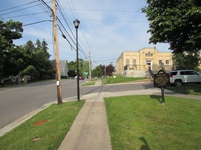
2. Eastward View Russell Park Marker
Photographed by Anton Schwarzmueller, July 1, 2014
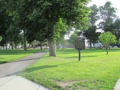
3. West and South View Russell Park Marker
Marker is at the northeast corner of the park/village square.
Photographed by Anton Schwarzmueller, July 1, 2014
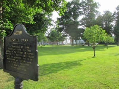
4. Russell Park Marker and View Towards Playground
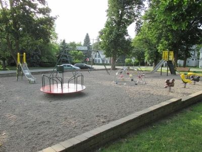
Photographed by Anton Schwarzmueller, July 1, 2014
5. Russell Park Playground
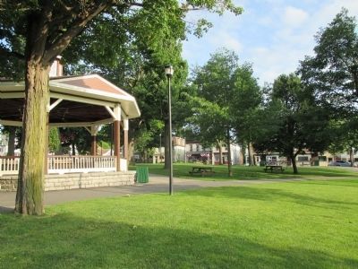
Photographed by Anton Schwarzmueller, July 1, 2014
6. Russell Park
Credits. This page was last revised on June 16, 2016. It was originally submitted on July 5, 2014, by Anton Schwarzmueller of Wilson, New York. This page has been viewed 1,020 times since then and 64 times this year. Photos: 1, 2, 3, 4, 5, 6. submitted on July 5, 2014, by Anton Schwarzmueller of Wilson, New York. • Bill Pfingsten was the editor who published this page.
