Pulaski in Giles County, Tennessee — The American South (East South Central)
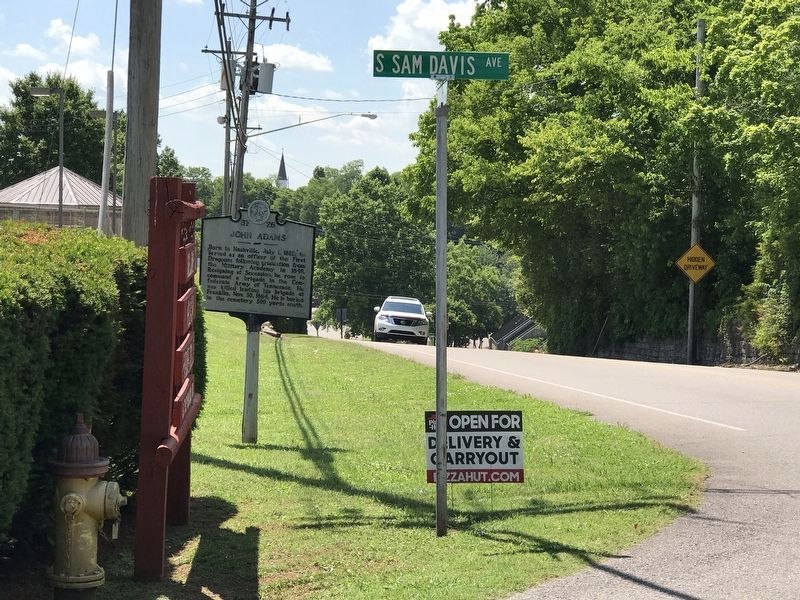
John Adams
Erected by Tennessee Historical Commission. (Marker Number 3F 26.)
Topics and series. This historical marker is listed in these topic lists: Cemeteries & Burial Sites • War, US Civil. In addition, it is included in the Tennessee Historical Commission series list. A significant historical date for this entry is July 1, 1817.
Location. 35° 11.714′ N, 87° 1.658′ W. Marker is in Pulaski, Tennessee, in Giles County. Marker is at the intersection of East College Street (U.S. 64) and South Sam Davis Avenue, on the right when traveling east on East College Street. The marker is north of Maplewood Cemetery. Touch for map. Marker is at or near this postal address: 333 East College Street, Pulaski TN 38478, United States of America. Touch for directions.
Other nearby markers. At least 8 other markers are within walking distance of this marker. Sam Davis Avenue Historic District (about 300 feet away, measured in a direct line); Giles County Courthouses (about 400 feet away); Establishment of Pulaski / Giles County (about 400 feet away); Count Casimir Pulaski (1747-1779) (about 400 feet away); Native Americans in Giles County (about 400 feet away); Pulaski Academy (about 400 feet away); Edward Everett Eslick (1872-1932) (about 500 feet away); Trail of Tears (about 500 feet away). Touch for a list and map of all markers in Pulaski.
Credits. This page was last revised on June 10, 2020. It was originally submitted on July 7, 2014, by Don Morfe of Baltimore, Maryland. This page has been viewed 600 times since then and 36 times this year. Photos: 1. submitted on July 7, 2014, by Don Morfe of Baltimore, Maryland. 2. submitted on June 10, 2020, by Duane and Tracy Marsteller of Murfreesboro, Tennessee. • Bernard Fisher was the editor who published this page.

