Near Fort Plain in Montgomery County, New York — The American Northeast (Mid-Atlantic)
Te-No-To-Ge
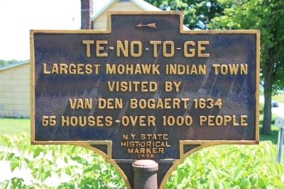
Te-No-To-Ge
Largest Mohawk Indian Town
Visited By
Van Den Bogaert 1634
55 Houses - Over 1000 People
Erected 1928 by New York State Historical Marker.
Topics. This historical marker is listed in these topic lists: Colonial Era • Native Americans. A significant historical year for this entry is 1634.
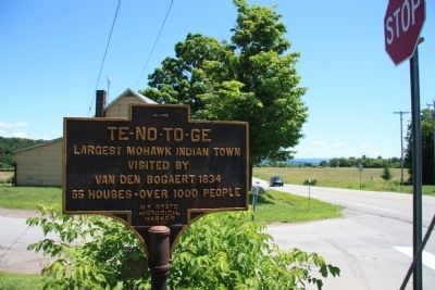
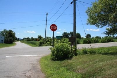
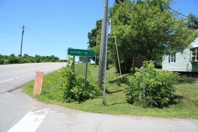
Location. 42° 57.164′ N, 74° 39.76′ W. Marker is near Fort Plain, New York, in Montgomery County. Marker is at the intersection of Dutchtown Road (Route 5S) and Airport Road (County Route 67), on the left when traveling east on Dutchtown Road. Touch for map. Marker is in this post office area: Fort Plain NY 13339, United States of America. Touch for directions.
Other nearby markers. At least 8 other markers are within 2 miles of this marker, measured as the crow flies. Sand Hill (approx. 1.7 miles away); Sand Hill School (approx. 1.8 miles away); Fort Plain War Memorial (approx. 1.8 miles away); Revolution in the Mohawk Valley (approx. 1.9 miles away); Fort Plain (approx. 1.9 miles away); Clinton March (approx. 1.9 miles away); a different marker also named Fort Plain (approx. 1.9 miles away); Palatine Evangelical Lutheran Church (approx. 2.1 miles away). Touch for a list and map of all markers in Fort Plain.
Credits. This page was last revised on June 16, 2016. It was originally submitted on July 12, 2014, by Dale K. Benington of Toledo, Ohio. This page has been viewed 561 times since then and 30 times this year. Photos: 1, 2, 3, 4. submitted on July 12, 2014, by Dale K. Benington of Toledo, Ohio.


