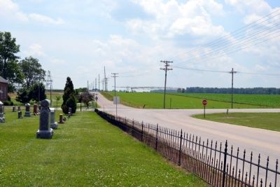
Near Milford in Kosciusko County, Indiana — The American Midwest (Great Lakes)
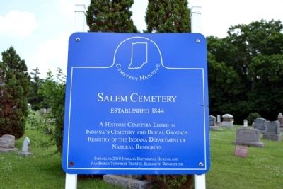
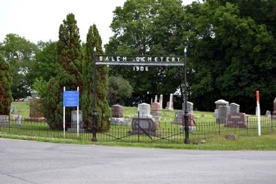
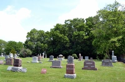
Salem Cemetery
Cemetery Heritage
Established 1844
A Historic Cemetery Listed in Indiana's Cemetery and Burial Grounds Registry of the Indiana Department of Natural Resources
Installed 2010 Indiana Historical Bureau and Van Buren Township Trustee, Elizabeth Winchester
Erected 2010 by Indiana Historical Bureau and Van Buren Township Trustee, Elizabeth Winchester.
Topics and series. This historical marker is listed in this topic list: Cemeteries & Burial Sites. In addition, it is included in the Indiana Cemetery Heritage series list. A significant historical year for this entry is 1844.
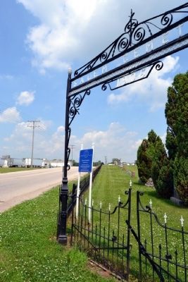
Location. 41° 21.815′ N, 85° 48.375′ W. Marker is near Milford, Indiana, in Kosciusko County. Marker is at the intersection of County Road E 900N and County Road N 200E, on the right when traveling north on County Road E 900N. Touch for map. Marker is in this post office area: Milford IN 46542, United States of America. Touch for directions.
Other nearby markers. At least 8 other markers are within 6 miles of this marker, measured as the crow flies. Mount Pleasant Cemetery (approx. 2.8 miles away); Leesburg Sesquicentennial (approx. 3.2 miles away); Pound General Store and Post Office (approx. 3.2 miles away); Milford World Wars Honor Roll (approx. 3.8 miles away); In honor of the World War Veterans of this community (approx. 3.8 miles away); Crosson Park (approx. 5.1 miles away); Syracuse Cemetery (approx. 5.2 miles away); Continental Divide (approx. 5˝ miles away). Touch for a list and map of all markers in Milford.
Also see . . .
1. Indiana Cemetery Heritage Sign Initiative. A program of the Indiana Historical Bureau to mark cemeteries that are over fifty years old. (Submitted on July 12, 2014.)
2. Salem Cemetery Research. From the findagrave.com website. (Submitted on July 12, 2014.)
Credits. This page was last revised on June 16, 2016. It was originally submitted on July 12, 2014, by Duane Hall of Abilene, Texas. This page has been viewed 439 times since then and 22 times this year. Photos: 1, 2, 3, 4, 5. submitted on July 12, 2014, by Duane Hall of Abilene, Texas.
