Santaquin in Utah County, Utah — The American Mountains (Southwest)
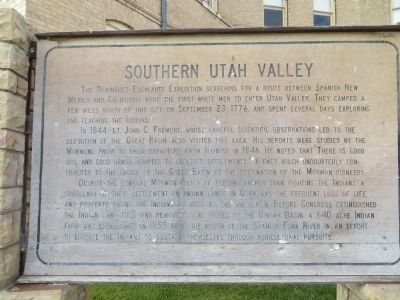
Southern Utah Valley
In 1844 Lt. John C. Fremont whose careful scientific observations led to the definition of the Great Basin, also visited this area. His reports were studied by the Mormons prior to their departure from Illinois in 1846. He noted that "there is good soil and good grass adapted to civilized settlements." A fact which undoubtedly contributed to the choice of the Great Basin as the destination of the Mormon Pioneers.
Despite the general Mormon policy of feeding rather fighting the Indians, a corollary of their settlement on Indians lands in Utah was the frequent loss of life and property among the Indians as well as the white man. Before Congress extinguished the Indian land title and removed local tribes to the Uintah Basin, a 640 acre Indian Farm was established in 1855 near the mouth of the Spanish Fork River in an effort to educate the Indians to sustain themselves through agricultural pursuits.
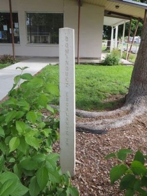
Topics and series. This historical marker is listed in this topic list: Exploration. In addition, it is included in the Dominguez y Escalante Expedition series list. A significant historical month for this entry is September 1840.
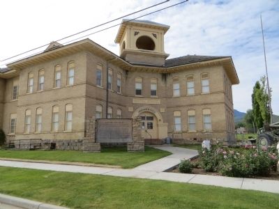
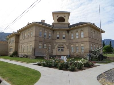
Location. 39° 58.425′ N, 111° 47.229′ W. Marker is in Santaquin, Utah, in Utah County. Marker is at the intersection of West 100 South Street and South 100 West Street, on the right when traveling east on West 100 South Street. Marker is on the southeast corner. Touch for map. Marker is in this post office area: Santaquin UT 84655, United States of America. Touch for directions.
Other nearby markers. At least 8 other markers are within 6 miles of this marker, measured as the crow flies. Santaquin (approx. 0.2 miles away); First Relief Society Hall (approx. 0.2 miles away); Spring Lake Villa (approx. 2.7 miles away); Black Hawk - Ute Indian Chief (approx. 3 miles away); West Mountain (approx. 4.6 miles away); The Walker War (approx. 5 miles away); Our Pioneers (approx. 5.4 miles away); Dominguez y Escalante Expedition (approx. 5˝ miles away). Touch for a list and map of all markers in Santaquin.
Credits. This page was last revised on June 16, 2016. It was originally submitted on July 12, 2014, by Bill Kirchner of Tucson, Arizona. This page has been viewed 438 times since then and 18 times this year. Photos: 1, 2, 3, 4. submitted on July 12, 2014, by Bill Kirchner of Tucson, Arizona. • Al Wolf was the editor who published this page.


